|
search place name
|
||
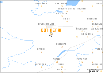
Dotinėnai (Lithuania)Dotinėnai is a town in Lithuania. An overview map of the region around Dotinėnai is displayed below.
regional and 3d topo map of Dotinėnai, Lithuania ::
Dotinėnai airports ::
The nearest airport is MHP - Minsk 1, located 172.3 km south east of Dotinėnai.
Nearby towns ::
Mežionėliai (1.9km north) //
Švenčionėliai (3.9km north) //
Mežionys (4.3km south east) //
Grybai (6.0km south) //
Trūdai (6.4km north east) //
Rudžionys (7.7km north) //
[all distances 'as the bird flies' and approximate] 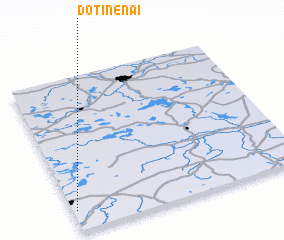 Places with similar names to Dotinėnai, Lithuania ::
// Todianana (MG)
// Did Anan (ET)
// Dadounin (BF)
// Tetenono (ID)
// Todanan (ID)
// Dāduāna Nau (PK)
// Tutniān (PK)
// Tiutinen (FI)
// Dudinin (AU)
// Daw Ta-nawno (MM)
Disclaimer :: Information on this page comes without warranty of any kind |
||
|
Where is Dotinėnai? Elevation and coordinates ::
Latitude (lat): 55°8'0"N Longitude (lon): 26°1'0"E
Elevation (approx.): 169m (map arrows pan, magnifying glasses zoom) |
||
|
Visiting Dotinėnai? Hotel/Accommodation ::
Book a hotel in Dotinėnai Travel Guide ::
Buy a travel guide for Lithuania rental cars ::
car rental offers GPS waypoint ::
download a GPX waypoint (PoI) of Dotinėnai for your GPS receiver
|
||