|
search place name
|
||
Kopūstėliai (Lithuania)Kopūstėliai is a town in Lithuania. An overview map of the region around Kopūstėliai is displayed below.
regional and 3d topo map of Kopūstėliai, Lithuania ::

Nearby towns ::
Radiškis (0.0km north) //
Trakinė (2.1km south east) //
Knitiškiai (2.1km north west) //
Genėtiniai (2.1km west) //
Kirnė (2.8km south east) //
Siesartis (3.9km south) //
Vengriškis (2.8km south west) //
Bariai (2.8km north west) //
Svirnai Žemieji (3.9km north) //
Svirnai Aukštieji (4.3km north west) //
Naručiai (3.2km west) //
Riklikai (5.7km north) //
Gudeliai (3.7km north west) //
Valtūnai (5.9km south) //
Vidiškiai (4.9km south west) //
Žemaitkiemis (4.9km south east) //
Rundžiai (4.6km south east) //
Lyduokiai (7.7km south) //
Šeriai (7.7km north) //
Nuotekai (8.1km south west) //
Antatilčiai (7.0km south east) //
Medžiočiai (7.0km north east) //
Zujai (7.0km south west) //
Juodausiai (8.5km south west) //
[all distances 'as the bird flies' and approximate] 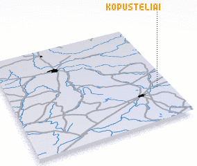 Places with similar names to Kopūstėliai, Lithuania ::
Disclaimer :: Information on this page comes without warranty of any kind |
||
|
Where is Kopūstėliai? Elevation and coordinates ::
Latitude (lat): 55°20'0"N Longitude (lon): 24°55'0"E
Elevation (approx.): 91m (map arrows pan, magnifying glasses zoom) |
||
|
Visiting Kopūstėliai? Hotel/Accommodation ::
Book a hotel in Kopūstėliai Travel Guide ::
Buy a travel guide for Lithuania rental cars ::
car rental offers GPS waypoint ::
download a GPX waypoint (PoI) of Kopūstėliai for your GPS receiver
|
||