|
search place name
|
||
Paliepiai (Lithuania)Paliepiai is a town in Lithuania. An overview map of the region around Paliepiai is displayed below.
regional and 3d topo map of Paliepiai, Lithuania ::

Nearby towns ::
Paliepiukai (2.1km south west) //
Ročiai (3.7km north) //
Aukšlaukys (2.1km west) //
Būdai (4.0km south) //
Žibuliai (2.8km north west) //
Ramučiai (5.0km south) //
Skirgailinė (5.7km north) //
Lepšiškė (5.7km north) //
Pašilaupiai (6.3km south) //
Pigainiai (4.9km south west) //
Degimai (4.2km east) //
Lenčiai (6.9km south) //
Ilgižiai (6.4km north west) //
Šliužiai (7.7km south) //
Rimgailai (5.6km north west) //
Šetkaimiukai (7.7km north) //
Kasiulkai (5.6km south west) //
Negirva (8.2km south) //
Rajinciškiai (8.0km south) //
Antežeriai (7.0km north east) //
Grajauskai (7.0km south west) //
Kimentmėdis (8.5km north west) //
Gudaičiai (8.5km north east) //
[all distances 'as the bird flies' and approximate] 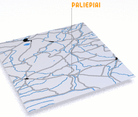 Places with similar names to Paliepiai, Lithuania ::
Disclaimer :: Information on this page comes without warranty of any kind |
||
|
Where is Paliepiai? Elevation and coordinates ::
Latitude (lat): 55°21'0"N Longitude (lon): 23°33'0"E
Elevation (approx.): 100m (map arrows pan, magnifying glasses zoom) |
||
|
Visiting Paliepiai? Hotel/Accommodation ::
Book a hotel in Paliepiai Travel Guide ::
Buy a travel guide for Lithuania rental cars ::
car rental offers GPS waypoint ::
download a GPX waypoint (PoI) of Paliepiai for your GPS receiver
|
||