|
search place name
|
||
Palutupys (Lithuania)Palutupys is a town in Lithuania. An overview map of the region around Palutupys is displayed below.
regional and 3d topo map of Palutupys, Lithuania ::

Nearby towns ::
Žalpiai (1.0km east) //
Godlaukis (1.9km south) //
Lyduvėnai (1.9km north west) //
Ribuka (2.1km north east) //
Skiručiai (4.3km north west) //
Kaukėnai (5.6km south) //
Juškaičiai (3.1km east) //
Gumbinė (3.1km west) //
Macaičiai (5.7km north) //
Bulavėnai (5.7km north) //
Norvydžiai (3.7km south east) //
Plauginiai (5.7km south) //
Petkiškiai (3.7km north west) //
Krantai (3.7km north west) //
Palapišiai (5.9km north) //
Zakeliškiai (5.9km north) //
Kušeliškė (4.9km south east) //
Piktaičiai (4.2km east) //
Bogušiškiai (4.2km east) //
Janapolis (4.2km west) //
Dainiai (7.5km south) //
Lukaičiai (4.6km south east) //
Gradžiai (4.6km north east) //
Katauskai (4.6km south east) //
Bedančiai II (6.4km south east) //
Padubysis (7.7km north) //
Bedančiai I (5.6km south east) //
Šienlaukis (5.6km south west) //
Prienai (8.1km north west) //
[all distances 'as the bird flies' and approximate] 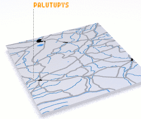 Places with similar names to Palutupys, Lithuania :: Disclaimer :: Information on this page comes without warranty of any kind |
||
|
Where is Palutupys? Elevation and coordinates ::
Latitude (lat): 55°30'0"N Longitude (lon): 23°6'0"E
Elevation (approx.): 63m (map arrows pan, magnifying glasses zoom) |
||
|
Visiting Palutupys? Hotel/Accommodation ::
Book a hotel in Palutupys Travel Guide ::
Buy a travel guide for Lithuania rental cars ::
car rental offers GPS waypoint ::
download a GPX waypoint (PoI) of Palutupys for your GPS receiver
|
||