|
search place name
|
||
Ramygala (Lithuania)Ramygala is a town in Lithuania. An overview map of the region around Ramygala is displayed below.
regional and 3d topo map of Ramygala, Lithuania ::

Nearby towns ::
Aukštadvaris (3.7km south) //
Jovaišai (3.7km south) //
Rimaisai (4.3km north east) //
Gudeliukai (3.1km west) //
Gliebai (5.6km south) //
Juodikoniai (3.7km north west) //
Užkalniai (5.7km north) //
Gudeliai (3.7km south west) //
Butkiškiai (5.7km south) //
Papiškiai (5.9km north) //
Daukšinė (5.9km south) //
Barklainiai (7.7km north) //
Ėriškiai (7.7km north) //
Naujasodė (7.7km south) //
Pašiliai (5.6km south west) //
Džiugailiai (5.6km south east) //
Joskildai (8.1km north east) //
[all distances 'as the bird flies' and approximate] 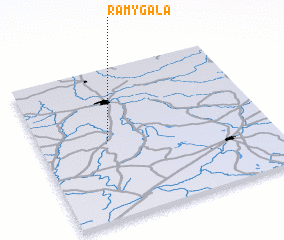 Places with similar names to Ramygala, Lithuania ::
// Ramkhlau (MM)
// Rumah Galau (MY)
// Rumah Galau (MY)
// Rumah Galau (MY)
// Rumah Galoh (MY)
// Rumah Kalau (MY)
// Rumah Kilau (MY)
// Rumah Kuleh (MY)
// Rumah Kuleh (MY)
// Rumah Kuli (MY)
Disclaimer :: Information on this page comes without warranty of any kind |
||
|
Where is Ramygala? Elevation and coordinates ::
Latitude (lat): 55°31'0"N Longitude (lon): 24°18'0"E
Elevation (approx.): 54m (map arrows pan, magnifying glasses zoom) |
||
|
Visiting Ramygala? Hotel/Accommodation ::
Book a hotel in Ramygala Travel Guide ::
Buy a travel guide for Lithuania rental cars ::
car rental offers GPS waypoint ::
download a GPX waypoint (PoI) of Ramygala for your GPS receiver
|
||