|
search place name
|
||
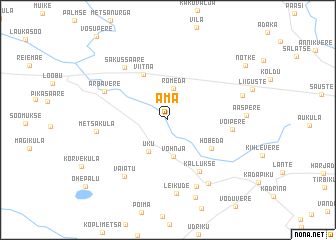
Ama (Lääne-Virumaa, Estonia)Ama is a town in the Lääne-Virumaa region of Estonia. An overview map of the region around Ama is displayed below.
regional and 3d topo map of Ama, Estonia ::
Ama airports ::
The nearest airport is TLL - Tallinn-ulemiste International Tallinn, located 68.5 km west of Ama.
Other airports nearby include HEM - Helsinki Malmi (109.2 km north west), HEL - Helsinki Vantaa (117.5 km north west), QVY - Utti (172.8 km north), Nearby towns ::
Rõmeda (3.5km north) //
Uku (3.7km south) //
Vohnja (4.1km south) //
Viitna (5.3km north) //
Hõbeda (4.0km south east) //
Kallukse (6.0km south) //
Võipere (3.8km east) //
Sakussaare (6.3km north west) //
Arbavere (4.8km north west) //
Vaiatu (6.7km south) //
Sootaguse (7.6km south) //
Metsaküla (4.3km west) //
Leikude (8.3km south) //
Undla (7.4km south) //
Aaspere (4.5km east) //
Kärmu (5.0km north east) //
Telliskopli (8.8km south) //
Nõtke (7.5km north east) //
[all distances 'as the bird flies' and approximate] 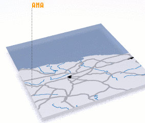 Places with similar names to Ama, Estonia ::
Disclaimer :: Information on this page comes without warranty of any kind |
||
|
Where is Ama? Elevation and coordinates ::
Latitude (lat): 59°24'43"N Longitude (lon): 26°2'20"E
Elevation (approx.): 80m (map arrows pan, magnifying glasses zoom) |
||
|
Visiting Ama? Hotel/Accommodation ::
Book a hotel in Ama Travel Guide ::
Buy a travel guide for Estonia rental cars ::
car rental offers GPS waypoint ::
download a GPX waypoint (PoI) of Ama for your GPS receiver
|
||