|
search place name
|
||
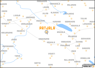
Patjala (Jõgevamaa, Estonia)Patjala is a town in the Jõgevamaa region of Estonia. An overview map of the region around Patjala is displayed below.
regional and 3d topo map of Patjala, Estonia ::
Patjala airports ::
The nearest airport is TLL - Tallinn-ulemiste International Tallinn, located 123.8 km north west of Patjala.
Other airports nearby include HEM - Helsinki Malmi (191.5 km north west), HEL - Helsinki Vantaa (199.7 km north west), Nearby towns ::
Kassinurme (2.9km south) //
Mooritsa (2.9km north) //
Aruküla (4.2km south) //
Võikvere (4.5km north) //
Kuremaa (4.3km north east) //
Änkküla (2.8km east) //
Kaarepere (4.7km south east) //
Vilina (7.2km north) //
Alavere (7.6km north) //
Raadivere (5.5km south east) //
Ellakvere (6.2km north west) //
Vana-Jõgeva (5.3km north west) //
Visusti (8.7km south) //
Pikkjärve (6.6km south east) //
Võduvere (6.7km north west) //
Kivijärve (8.4km north east) //
[all distances 'as the bird flies' and approximate] 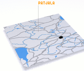
Disclaimer :: Information on this page comes without warranty of any kind |
||
|
Where is Patjala? Elevation and coordinates ::
Latitude (lat): 58°42'5"N Longitude (lon): 26°29'24"E
Elevation (approx.): 96m (map arrows pan, magnifying glasses zoom) |
||
|
Visiting Patjala? Hotel/Accommodation ::
Book a hotel in Patjala Travel Guide ::
Buy a travel guide for Estonia rental cars ::
car rental offers GPS waypoint ::
download a GPX waypoint (PoI) of Patjala for your GPS receiver
|
||