|
search place name
|
||
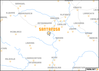
Santa Rosa (Villa Clara, Cuba)Santa Rosa is a town in the Villa Clara region of Cuba. An overview map of the region around Santa Rosa is displayed below.
regional and 3d topo map of Santa Rosa, Cuba ::
Santa Rosa airports ::
The nearest airport is SNU - Santa Clara Abel Santamaria, located 54.3 km north of Santa Rosa.
Other airports nearby include CFG - Cienfuegos Jaime Gonzalez (63.4 km west), AVI - Ciego De Avila Maximo Gomez (106.0 km east), CYO - Cayo Vilo Acuna Intl (184.2 km west), VRA - Varadero Juan Gualberto Gomez Intl (201.1 km north west), Nearby towns ::
Potrero Güinia (4.1km north west) //
Las Cañas (4.1km north east) //
Sopimpa (3.9km south east) //
Carolina (5.4km north east) //
Mabujina (5.9km north) //
Güinía de Miranda (6.0km north west) //
Jaramillo (6.8km north east) //
Alonso (6.6km east) //
Altagracia (7.6km north east) //
Las Piñas (7.8km south west) //
Algarrobo (8.1km south west) //
Jíquima (8.3km east) //
Platanico (8.9km north east) //
[all distances 'as the bird flies' and approximate] 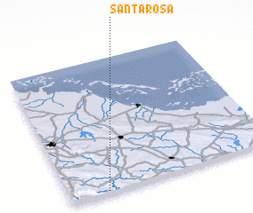 Places with similar names to Santa Rosa, Cuba ::
// Sania Torres (MA)
// Santa Rosa (BR)
// Santa Rosa (BR)
// Santa Rosa (BR)
// Santa Rosa (BR)
// Santa Rosa (BR)
// Santa Rosa (BR)
// Santa Rosa (BR)
// Santa Rosa (BR)
// Santa Rosa (BR)
Disclaimer :: Information on this page comes without warranty of any kind |
||
|
Where is Santa Rosa? Elevation and coordinates ::
Latitude (lat): 22°1'0"N Longitude (lon): 79°49'0"W
Elevation (approx.): 74m (map arrows pan, magnifying glasses zoom) |
||
|
Visiting Santa Rosa? Hotel/Accommodation ::
Book a hotel in Santa Rosa Travel Guide ::
Buy a travel guide for Cuba rental cars ::
car rental offers GPS waypoint ::
download a GPX waypoint (PoI) of Santa Rosa for your GPS receiver
|
||