|
search place name
|
||
Orahovac (Federacija Bosne i Hercegovine, Bosnia and Herzegovina)Orahovac is a town in the Federacija Bosne i Hercegovine region of Bosnia and Herzegovina. An overview map of the region around Orahovac is displayed below.
regional and 3d topo map of Orahovac, Bosnia and Herzegovina ::

Orahovac airports ::
The nearest airport is SJJ - Sarajevo, located 13.7 km south east of Orahovac.
Other airports nearby include OMO - Mostar (77.0 km south west), DBV - Dubrovnik (151.0 km south), SPU - Split (160.8 km west), TIV - Tivat (173.2 km south), Nearby towns ::
Ratkovci (0.6km north) //
Jošilovina (0.8km south) //
Draškići (0.8km south east) //
Kutnja (1.2km south) //
Čatići (0.9km north east) //
Pjesak (1.2km south west) //
Vidovići (1.1km west) //
Brđani (2.0km south) //
Čifluk (2.3km north) //
Gaj (2.3km south) //
Sarafijeni (2.2km south east) //
Gornji Zenik (2.0km south west) //
Jelašje (2.0km north west) //
Zenik (2.8km south) //
Potok (2.9km north) //
Dvor (2.8km north west) //
Potkraj (3.1km south west) //
Donja Bioča (3.0km north east) //
Gornja Bioča (2.8km east) //
Vlajčići (4.0km north) //
Ginje (3.5km north west) //
Kao (3.0km west) //
Božići (3.7km south west) //
Drenovica (4.1km north) //
Kakrinje (4.3km south) //
Kalemi (4.3km south) //
Dobre (4.3km north) //
Vela (3.3km west) //
Luka (3.9km north east) //
[all distances 'as the bird flies' and approximate] 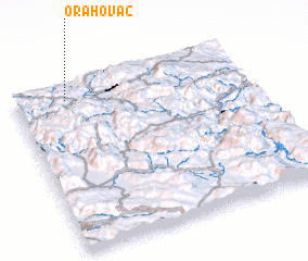 Places with similar names to Orahovac, Bosnia and Herzegovina ::
Disclaimer :: Information on this page comes without warranty of any kind |
||
|
Where is Orahovac? Elevation and coordinates ::
Latitude (lat): 43°55'12"N Longitude (lon): 18°13'22"E
Elevation (approx.): 627m (map arrows pan, magnifying glasses zoom) |
||
|
Visiting Orahovac? Hotel/Accommodation ::
Book a hotel in Orahovac Travel Guide ::
rental cars ::
car rental offers GPS waypoint ::
download a GPX waypoint (PoI) of Orahovac for your GPS receiver
|
||