|
search place name
|
||
Ponorac (Federacija Bosne i Hercegovine, Bosnia and Herzegovina)Ponorac is a town in the Federacija Bosne i Hercegovine region of Bosnia and Herzegovina. An overview map of the region around Ponorac is displayed below.
regional and 3d topo map of Ponorac, Bosnia and Herzegovina ::

Ponorac airports ::
The nearest airport is ZAD - Zadar, located 82.4 km south west of Ponorac.
Other airports nearby include SPU - Split (118.3 km south), ZAG - Zagreb (127.5 km north), RJK - Rijeka (140.8 km north west), OMO - Mostar (201.0 km south east), Nearby towns ::
Čovka (0.9km south west) //
Razpolje (2.0km north east) //
Podglavica (2.4km north) //
Staro Selo (2.2km north west) //
Tuk (2.4km north west) //
Do (2.7km north west) //
Kovačevići (2.5km north east) //
Zorići (2.8km north east) //
Prkosi (3.4km north) //
Žabica (2.5km west) //
Medići (3.5km south) //
Dalića Brdo (3.2km north east) //
Galini (3.0km north east) //
Vaganac (3.3km north east) //
Gečet (3.8km south west) //
Antunovići (4.2km south) //
Rajinovci (3.1km west) //
Veliki Stjenjani (4.2km south) //
Čojluk (3.5km south west) //
Podlupina (4.3km north) //
Vekići (3.8km south east) //
Dropci (4.1km south west) //
Lončić (3.9km north west) //
Mali Stjenjani (4.1km south east) //
Ciganovići (4.2km south east) //
Zorići (5.1km south) //
Havala (4.5km south west) //
Duliba (4.9km north east) //
Galini (4.7km north east) //
[all distances 'as the bird flies' and approximate] 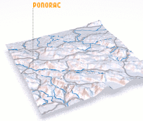 Places with similar names to Ponorac, Bosnia and Herzegovina ::
// Penrock (US)
// Pawnee Rock (US)
// Ponirak (BA)
// Pınarca (TR)
// Pınarca (TR)
// Pınarca (TR)
// Pınarca (TR)
// Pınarköy (TR)
// Pınarköy (TR)
// Pounouroukou (BF)
Disclaimer :: Information on this page comes without warranty of any kind |
||
|
Where is Ponorac? Elevation and coordinates ::
Latitude (lat): 44°35'47"N Longitude (lon): 16°7'28"E
Elevation (approx.): 772m (map arrows pan, magnifying glasses zoom) |
||
|
Visiting Ponorac? Hotel/Accommodation ::
Book a hotel in Ponorac Travel Guide ::
rental cars ::
car rental offers GPS waypoint ::
download a GPX waypoint (PoI) of Ponorac for your GPS receiver
|
||