|
search place name
|
||
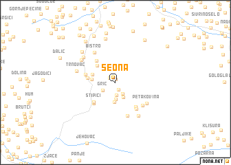
Seona (Federacija Bosne i Hercegovine, Bosnia and Herzegovina)Seona is a town in the Federacija Bosne i Hercegovine region of Bosnia and Herzegovina. An overview map of the region around Seona is displayed below.
regional and 3d topo map of Seona, Bosnia and Herzegovina ::
Seona airports ::
The nearest airport is SJJ - Sarajevo, located 57.8 km south east of Seona.
Other airports nearby include OMO - Mostar (87.7 km south), SPU - Split (126.5 km south west), DBV - Dubrovnik (173.4 km south), OSI - Osijek (178.8 km north east), Nearby towns ::
Međići (0.5km north) //
Mirkovići (0.9km north west) //
Potkraj (1.2km south) //
Rat (2.1km south) //
Dahovo (2.0km south east) //
Grič (2.0km south west) //
Peričini (2.5km south) //
Has (2.7km south) //
Jezerci (3.2km south) //
Puhovac (2.8km west) //
Lisac (3.0km north west) //
Orašac (3.4km north west) //
Pričani (3.3km west) //
Krnjići (4.1km north west) //
Stipići (4.1km south west) //
Krivodol (4.3km south west) //
Monjići (3.8km west) //
Otas (4.6km south east) //
Sebešić (4.9km south east) //
Sebešić Kolonija (5.6km south) //
Križ (4.9km south east) //
Bistro (5.5km north west) //
Petakovina (5.0km south east) //
Trnovac (4.9km west) //
Reput (5.5km north west) //
Opara (5.4km north west) //
Laze (6.1km south east) //
Duboko (7.1km north) //
Božići (6.3km north west) //
[all distances 'as the bird flies' and approximate] 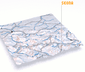 Places with similar names to Seona, Bosnia and Herzegovina ::
Disclaimer :: Information on this page comes without warranty of any kind |
||
|
Where is Seona? Elevation and coordinates ::
Latitude (lat): 44°3'53"N Longitude (lon): 17°41'32"E
Elevation (approx.): 1101m (map arrows pan, magnifying glasses zoom) |
||
|
Visiting Seona? Hotel/Accommodation ::
Book a hotel in Seona Travel Guide ::
rental cars ::
car rental offers GPS waypoint ::
download a GPX waypoint (PoI) of Seona for your GPS receiver
|
||