|
search place name
|
||
Al Imām al Ḩusayn (Al Buḩayrah, Egypt)Al Imām al Ḩusayn is a town in the Al Buḩayrah region of Egypt. An overview map of the region around Al Imām al Ḩusayn is displayed below.
regional and 3d topo map of Al Imām al Ḩusayn, Egypt ::

Al Imām al Ḩusayn airports ::
The nearest airport is ALY - Alexandria Intl, located 64.6 km north west of Al Imām al Ḩusayn.
Other airports nearby include CAI - Cairo Intl (120.7 km south east), PSD - Port Said (190.7 km east), Nearby towns ::
Al Imām al Ghazālī (3.7km south east) //
El-Sheikh Muḥammad Rif`at (4.1km north west) //
Aḩmad Rāmī (4.0km east) //
Ash Shahīd ‘Abd al Mun‘im Riyāḑ (4.4km west) //
Qaryat Najīb Maḩfūz̧ (8.0km north west) //
Qaryat al ‘Urūbah (8.9km north) //
`Ezbet Deif Alla Sulṭân (8.7km north east) //
‘Arrāqat Ḩāmid (9.4km north east) //
[all distances 'as the bird flies' and approximate] 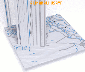 Places with similar names to Al Imām al Ḩusayn, Egypt :: Disclaimer :: Information on this page comes without warranty of any kind |
||
|
Where is Al Imām al Ḩusayn? Elevation and coordinates ::
Latitude (lat): 30°43'0"N Longitude (lon): 30°21'10"E
Elevation (approx.): 19m (map arrows pan, magnifying glasses zoom) |
||
|
Visiting Al Imām al Ḩusayn? Hotel/Accommodation ::
Book a hotel in Al Imām al Ḩusayn Travel Guide ::
Buy a travel guide for Egypt rental cars ::
car rental offers GPS waypoint ::
download a GPX waypoint (PoI) of Al Imām al Ḩusayn for your GPS receiver
|
||