|
search place name
|
||
Aş Şawāmi‘ah Sharq (Sūhāj, Egypt)Aş Şawāmi‘ah Sharq is a town in the Sūhāj region of Egypt. An overview map of the region around Aş Şawāmi‘ah Sharq is displayed below.
regional and 3d topo map of Aş Şawāmi‘ah Sharq, Egypt ::

Aş Şawāmi‘ah Sharq airports ::
The nearest airport is LXR - Luxor Intl, located 143.2 km south east of Aş Şawāmi‘ah Sharq.
Other airports nearby include ELT - El-tor El Tor (256.1 km north east), Nearby towns ::
As Salamūnī (2.5km south east) //
Siflāq (3.3km west) //
Sa‘d Allāh (5.3km west) //
Al Ḩawāwīsh (5.8km south) //
Ash Shaykh Makram (6.2km south west) //
Akhmīm (7.6km south) //
Tūnus (6.9km west) //
Al ‘Izbah wa al ‘Arab (8.1km south west) //
Qilfāw (8.9km south west) //
Al ‘Īsāwīyah Sharq (8.9km south east) //
Bājā (8.7km south west) //
‘Urbān Bānī Wāşil (9.9km north west) //
[all distances 'as the bird flies' and approximate] 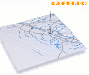 Places with similar names to Aş Şawāmi‘ah Sharq, Egypt :: Disclaimer :: Information on this page comes without warranty of any kind |
||
|
Where is Aş Şawāmi‘ah Sharq? Elevation and coordinates ::
Latitude (lat): 26°38'0"N Longitude (lon): 31°45'0"E
Elevation (approx.): 66m (map arrows pan, magnifying glasses zoom) |
||
|
Visiting Aş Şawāmi‘ah Sharq? Hotel/Accommodation ::
Book a hotel in Aş Şawāmi‘ah Sharq Travel Guide ::
Buy a travel guide for Egypt rental cars ::
car rental offers GPS waypoint ::
download a GPX waypoint (PoI) of Aş Şawāmi‘ah Sharq for your GPS receiver
|
||