|
search place name
|
||
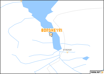
Borðeyri (Strandasýsla, Iceland)Borðeyri is a town in the Strandasýsla region of Iceland. An overview map of the region around Borðeyri is displayed below.
regional and 3d topo map of Borðeyri, Iceland ::
Borðeyri airports ::
The nearest airport is RKV - Reykjavik, located 125.9 km south of Borðeyri.
Other airports nearby include KEF - Keflavik Nas (153.4 km south west), VEY - Vestmannaeyjar (201.9 km south), Nearby towns ::
Staður (6.0km south east) //
[all distances 'as the bird flies' and approximate] 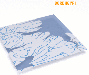 Places with similar names to Borðeyri, Iceland ::
// Bardhor (AL)
// Bāradhār (BD)
// Baradahar (IN)
// Bāhri Dheri (PK)
// Baardheere (SO)
// Baardheere (SO)
// Baardheere (SO)
// Buurdheer (SO)
// Buur Dheere (SO)
Disclaimer :: Information on this page comes without warranty of any kind |
||
|
Where is Borðeyri? Elevation and coordinates ::
Latitude (lat): 65°12'0"N Longitude (lon): 21°6'0"W
(map arrows pan, magnifying glasses zoom) |
||
|
Visiting Borðeyri? Hotel/Accommodation ::
Book a hotel in Borðeyri Travel Guide ::
Buy a travel guide for Iceland rental cars ::
car rental offers GPS waypoint ::
download a GPX waypoint (PoI) of Borðeyri for your GPS receiver
|
||