|
search place name
|
||
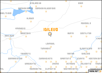
Idilevo (Bulgaria)Idilevo is a town in Bulgaria. An overview map of the region around Idilevo is displayed below.
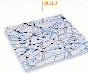
regional and 3d topo map of Idilevo, Bulgaria ::
Idilevo airports ::
The nearest airport is GOZ - Gorna Orechovica Gorna Oryahovitsa, located 39.9 km east of Idilevo.
Other airports nearby include PDV - Plovdiv (112.2 km south), SOF - Sofia (155.3 km west), BBU - Bucharest Aurel Vlaicu (177.1 km north), CRA - Craiova (180.1 km north west), Nearby towns ::
 Places with similar names to Idilevo, Bulgaria ::
// Italva (BR)
Disclaimer :: Information on this page comes without warranty of any kind |
||
|
Where is Idilevo? Elevation and coordinates ::
Latitude (lat): 43°2'0"N Longitude (lon): 25°15'0"E
Elevation (approx.): 370m (map arrows pan, magnifying glasses zoom) |
||
|
Visiting Idilevo? Hotel/Accommodation ::
Book a hotel in Idilevo Travel Guide ::
Buy a travel guide for Bulgaria rental cars ::
car rental offers GPS waypoint ::
download a GPX waypoint (PoI) of Idilevo for your GPS receiver
|
||