|
search place name
|
||
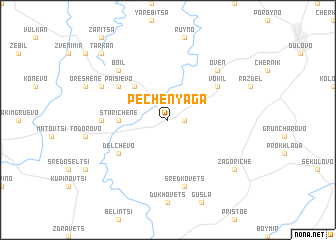
Pechenyaga (Bulgaria)Pechenyaga is a town in Bulgaria. An overview map of the region around Pechenyaga is displayed below.
regional and 3d topo map of Pechenyaga, Bulgaria ::
Pechenyaga airports ::
The nearest airport is VAR - Varna, located 87.1 km south east of Pechenyaga.
Other airports nearby include BBU - Bucharest Aurel Vlaicu (111.2 km north west), OTP - Bucharest Henri Coanda (117.0 km north west), GOZ - Gorna Orechovica Gorna Oryahovitsa (124.7 km south west), CND - Constanta Mihail Kogalniceanu (136.1 km north east), Nearby towns ::
Okorsh (1.3km east) //
Dolets (4.6km north west) //
Starichene (4.0km west) //
Paisievo (5.5km north west) //
Delchevo (5.5km south west) //
Vokil (5.5km north east) //
Omur (5.4km west) //
Sredkovets (7.5km south) //
Boil (6.9km north west) //
Oven (6.9km north east) //
Malko Paisievo (6.5km north west) //
Zagoriche (7.7km south east) //
Tarkan (9.1km north west) //
[all distances 'as the bird flies' and approximate] 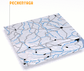
Disclaimer :: Information on this page comes without warranty of any kind |
||
|
Where is Pechenyaga? Elevation and coordinates ::
Latitude (lat): 43°45'0"N Longitude (lon): 27°1'0"E
Elevation (approx.): 240m (map arrows pan, magnifying glasses zoom) |
||
|
Visiting Pechenyaga? Hotel/Accommodation ::
Book a hotel in Pechenyaga Travel Guide ::
Buy a travel guide for Bulgaria rental cars ::
car rental offers GPS waypoint ::
download a GPX waypoint (PoI) of Pechenyaga for your GPS receiver
|
||