|
search place name
|
||
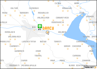
Dancu (Covurlui, Romania)Dancu is a town in the Covurlui region of Romania. An overview map of the region around Dancu is displayed below.
regional and 3d topo map of Dancu, Romania ::
Dancu airports ::
The nearest airport is IAS - Iasi, located 3.9 km north west of Dancu.
Other airports nearby include BCM - Bacau (89.8 km south west), KIV - Kichinau Fir/acc/com Chisinau Intl (100.4 km east), SCV - Suceava Stefan Cel Mare (114.6 km north west), Nearby towns ::
Vlădiceni (1.9km south) //
Bucium (3.9km south) //
Tomeşti (4.5km south east) //
Rusenii Vechi (4.5km north east) //
Holboca (3.8km east) //
Iaşi (4.2km north west) //
Valea Lungă (5.7km north) //
Rusenii Noi (5.7km north) //
Orzeni (5.3km north east) //
Rediu-Aldei (7.5km north) //
Dorobanţ (6.7km north west) //
Aroneanu (6.7km north west) //
Coada Stîncei (6.7km north east) //
Lunca Cetăţuii (6.3km south west) //
Hlincea (6.3km south west) //
Cercu (7.8km south) //
Vişan (7.8km south) //
Mînzăteşti (6.3km north east) //
Cristeşti (6.3km north east) //
Goruni (7.5km south east) //
[all distances 'as the bird flies' and approximate] 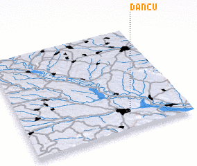 Places with similar names to Dancu, Romania ::
Disclaimer :: Information on this page comes without warranty of any kind |
||
|
Where is Dancu? Elevation and coordinates ::
Latitude (lat): 47°9'0"N Longitude (lon): 27°39'0"E
Elevation (approx.): 34m (map arrows pan, magnifying glasses zoom) |
||
|
Visiting Dancu? Hotel/Accommodation ::
Book a hotel in Dancu Travel Guide ::
Buy a travel guide for Romania rental cars ::
car rental offers GPS waypoint ::
download a GPX waypoint (PoI) of Dancu for your GPS receiver
|
||