|
search place name
|
||
Drăgugeşti (Covurlui, Romania)Drăgugeşti is a town in the Covurlui region of Romania. An overview map of the region around Drăgugeşti is displayed below.
regional and 3d topo map of Drăgugeşti, Romania ::

Drăgugeşti airports ::
The nearest airport is BCM - Bacau, located 20.5 km north east of Drăgugeşti.
Other airports nearby include IAS - Iasi (111.3 km north east), SCV - Suceava Stefan Cel Mare (150.2 km north), OTP - Bucharest Henri Coanda (206.1 km south), TCE - Tulcea Cataloi (209.8 km south east), Nearby towns ::
Deleni (1.9km south) //
Helegiu (2.3km south west) //
Bălăneasa (3.2km north west) //
Brătila de Sus (3.9km south) //
Livezi (4.5km north west) //
Gura Văii (4.5km south west) //
Brătila (5.6km south) //
Orăşa (5.7km north) //
Brătila de Jos (5.7km south) //
Livezi-Vale (6.1km north west) //
Verşeşti de Sus (7.4km north) //
Stufu (7.4km north) //
Poiana (5.4km west) //
Scăriga (5.4km west) //
Prăjoaia (6.8km north west) //
Lunca (6.8km north west) //
Codreanu (6.8km south west) //
Caraclău (6.8km south west) //
Verşeşti (7.8km north) //
Costieni (7.8km north) //
Bîrsăneşti (6.3km south west) //
Ciortea (7.8km south) //
Tisa (8.3km north west) //
Mateeşti (7.6km north west) //
[all distances 'as the bird flies' and approximate] 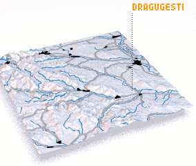 Places with similar names to Drăgugeşti, Romania :: Disclaimer :: Information on this page comes without warranty of any kind |
||
|
Where is Drăgugeşti? Elevation and coordinates ::
Latitude (lat): 46°22'0"N Longitude (lon): 26°46'0"E
Elevation (approx.): 263m (map arrows pan, magnifying glasses zoom) |
||
|
Visiting Drăgugeşti? Hotel/Accommodation ::
Book a hotel in Drăgugeşti Travel Guide ::
Buy a travel guide for Romania rental cars ::
car rental offers GPS waypoint ::
download a GPX waypoint (PoI) of Drăgugeşti for your GPS receiver
|
||