|
search place name
|
||
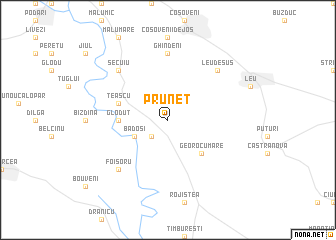
Prunet (Covurlui, Romania)Prunet is a town in the Covurlui region of Romania. An overview map of the region around Prunet is displayed below.
regional and 3d topo map of Prunet, Romania ::
Prunet airports ::
The nearest airport is CRA - Craiova, located 18.8 km north of Prunet.
Other airports nearby include SOF - Sofia (166.8 km south), SBZ - Sibiu (182.3 km north), GOZ - Gorna Orechovica Gorna Oryahovitsa (182.5 km south east), CSB - Caransebes (193.0 km north west), Nearby towns ::
Bratoveşti (2.3km south west) //
Bădoşi (3.2km south west) //
Georocu Mare (4.6km south east) //
Gloduţ (4.0km west) //
Teascu (4.4km north west) //
Miculeşti (4.4km north west) //
Pescari (4.4km north west) //
Ghindeni (7.4km north) //
Foişoru (6.8km south west) //
Leu de Sus (6.8km north east) //
Secuiu (6.8km north west) //
[all distances 'as the bird flies' and approximate] 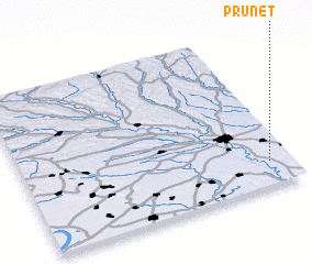 Places with similar names to Prunet, Romania ::
Disclaimer :: Information on this page comes without warranty of any kind |
||
|
Where is Prunet? Elevation and coordinates ::
Latitude (lat): 44°9'0"N Longitude (lon): 23°55'0"E
Elevation (approx.): 90m (map arrows pan, magnifying glasses zoom) |
||
|
Visiting Prunet? Hotel/Accommodation ::
Book a hotel in Prunet Travel Guide ::
Buy a travel guide for Romania rental cars ::
car rental offers GPS waypoint ::
download a GPX waypoint (PoI) of Prunet for your GPS receiver
|
||