|
search place name
|
||
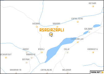
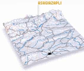
Aşağıazaplı (Kahramanmaraş, Turkey)Aşağıazaplı is a town in the Kahramanmaraş region of Turkey. An overview map of the region around Aşağıazaplı is displayed below.
regional and 3d topo map of Aşağıazaplı, Turkey ::
Aşağıazaplı airports ::
The nearest airport is MLX - Malatya Erhac, located 89.7 km north east of Aşağıazaplı.
Other airports nearby include GZT - Gaziantep Oguzeli (91.0 km south), ALP - Aleppo Intl (177.9 km south), EZS - Elazig (181.3 km north east), Nearby towns ::
 Places with similar names to Aşağıazaplı, Turkey :: Disclaimer :: Information on this page comes without warranty of any kind |
||
|
Where is Aşağıazaplı? Elevation and coordinates ::
Latitude (lat): 37°46'0"N Longitude (lon): 37°31'0"E
Elevation (approx.): 1187m (map arrows pan, magnifying glasses zoom) |
||
|
Visiting Aşağıazaplı? Hotel/Accommodation ::
Book a hotel in Aşağıazaplı Travel Guide ::
Buy a travel guide for Turkey rental cars ::
car rental offers GPS waypoint ::
download a GPX waypoint (PoI) of Aşağıazaplı for your GPS receiver
|
||