|
search place name
|
||
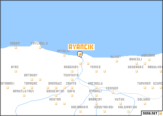
Ayancık (Sinop, Turkey)Ayancık is a town in the Sinop region of Turkey. An overview map of the region around Ayancık is displayed below.
regional and 3d topo map of Ayancık, Turkey ::
Ayancık airports ::
The nearest airport is MZH - Merzifon, located 146.5 km south east of Ayancık.
Other airports nearby include ESB - Ankara Esenboga (242.1 km south west), ANK - Ankara Etimesgut (273.1 km south west), Nearby towns ::
Dolay (1.3km south) //
Cevizli (1.7km south east) //
Aşağıköy (3.5km south west) //
Ortalık (3.0km west) //
Yenice (4.0km south east) //
Tevfikiye (5.2km south) //
Dereköy (5.0km south east) //
Zaviye (7.0km south) //
Hacıoğlu (7.3km south) //
Hacıköy (7.5km south west) //
Aliköy (6.1km east) //
Sofu (8.8km south) //
Ömerdüz (8.1km south west) //
Otmanlı (9.0km south) //
Büyükdüz (8.9km south west) //
Söküçayırı (9.7km south west) //
Yenişen (9.6km south east) //
[all distances 'as the bird flies' and approximate] 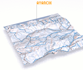
Disclaimer :: Information on this page comes without warranty of any kind |
||
|
Where is Ayancık? Elevation and coordinates ::
Latitude (lat): 41°56'41"N Longitude (lon): 34°35'10"E
Elevation (approx.): 35m (map arrows pan, magnifying glasses zoom) |
||
|
Visiting Ayancık? Hotel/Accommodation ::
Book a hotel in Ayancık Travel Guide ::
Buy a travel guide for Turkey rental cars ::
car rental offers GPS waypoint ::
download a GPX waypoint (PoI) of Ayancık for your GPS receiver
|
||