|
search place name
|
||
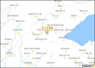
Ilıcak (Balıkesir, Turkey)Ilıcak is a town in the Balıkesir region of Turkey. An overview map of the region around Ilıcak is displayed below.
regional and 3d topo map of Ilıcak, Turkey ::
Ilıcak airports ::
The nearest airport is BDM - Bandirma, located 22.5 km north east of Ilıcak.
Other airports nearby include BZI - Balikesir (63.0 km south), IST - Istanbul Ataturk (124.3 km north east), MJT - Mytilini Mitilini (160.9 km south west), AXD - Alexandroupolis Dimokritos (172.5 km north west), Nearby towns ::
Üzümlü (1.9km west) //
Asmalıdere (3.2km south) //
Küçük Soğuklar (2.6km east) //
Hacımenteş (3.5km south west) //
Büyüksoğuklar (3.6km north east) //
Köteyli (3.4km west) //
Buğdaylı (4.9km north) //
Çınarpınar (4.7km west) //
Kocagöl (5.3km south east) //
Killik (6.7km north) //
Beyköy (8.2km north) //
Paşaçiftliği (7.7km north west) //
Bayramiç (8.6km south) //
Gölyaka (6.8km east) //
Saraçlar (8.7km south) //
Gökçesuçırpan (8.1km south west) //
Orhaniye (9.0km north east) //
Akçaova (8.6km south east) //
Kalfa (10.5km south west) //
[all distances 'as the bird flies' and approximate] 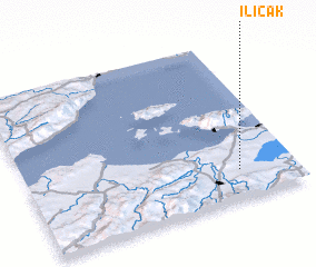 Places with similar names to Ilıcak, Turkey ::
Disclaimer :: Information on this page comes without warranty of any kind |
||
|
Where is Ilıcak? Elevation and coordinates ::
Latitude (lat): 40°10'37"N Longitude (lon): 27°47'15"E
Elevation (approx.): 84m (map arrows pan, magnifying glasses zoom) |
||
|
Visiting Ilıcak? Hotel/Accommodation ::
Book a hotel in Ilıcak Travel Guide ::
Buy a travel guide for Turkey rental cars ::
car rental offers GPS waypoint ::
download a GPX waypoint (PoI) of Ilıcak for your GPS receiver
|
||