|
search place name
|
||
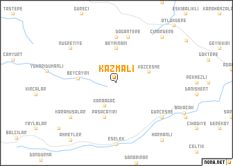
Kazmalı (Çanakkale, Turkey)Kazmalı is a town in the Çanakkale region of Turkey. An overview map of the region around Kazmalı is displayed below.
regional and 3d topo map of Kazmalı, Turkey ::
Kazmalı airports ::
The nearest airport is BDM - Bandirma, located 84.9 km east of Kazmalı.
Other airports nearby include BZI - Balikesir (106.8 km south east), AXD - Alexandroupolis Dimokritos (110.0 km north west), MJT - Mytilini Mitilini (136.6 km south), LXS - Limnos (153.5 km west), Nearby towns ::
Gürgendere (2.3km north east) //
Karaağaç (4.0km south) //
Kozçeşme (4.4km north east) //
Beypınarı (5.6km north) //
Paşaçayırı (5.7km south) //
Beyçayırı (4.7km west) //
Dişbudak (7.4km north) //
Doğantepe (7.5km north) //
Karamusalar (7.9km south west) //
Nusretiye (7.9km north west) //
Gürçeşme (7.9km south east) //
Çınardere (9.3km north east) //
[all distances 'as the bird flies' and approximate] 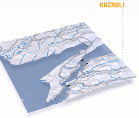 Places with similar names to Kazmalı, Turkey ::
// Kasymly (AZ)
// Kazımlı (AZ)
// Qasimbǝyli (AZ)
// Qasımbǝyli (AZ)
// Qasımbǝyli (AZ)
// Qasımbeyli (AZ)
// Qasımlı (AZ)
// Qasımlı (AZ)
// Keys Mill (US)
// Gosaumühle (AT)
Disclaimer :: Information on this page comes without warranty of any kind |
||
|
Where is Kazmalı? Elevation and coordinates ::
Latitude (lat): 40°15'0"N Longitude (lon): 26°59'0"E
Elevation (approx.): 302m (map arrows pan, magnifying glasses zoom) |
||
|
Visiting Kazmalı? Hotel/Accommodation ::
Book a hotel in Kazmalı Travel Guide ::
Buy a travel guide for Turkey rental cars ::
car rental offers GPS waypoint ::
download a GPX waypoint (PoI) of Kazmalı for your GPS receiver
|
||