|
search place name
|
||
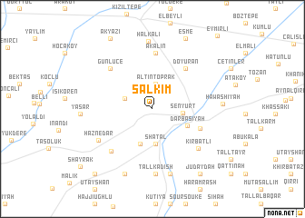
Salkım (Turkey)Salkım is a town in Turkey. An overview map of the region around Salkım is displayed below.
regional and 3d topo map of Salkım, Turkey ::
Salkım airports ::
The nearest airport is DIY - Diyabakir Diyarbakir, located 96.5 km north of Salkım.
Other airports nearby include BAL - Batman (103.3 km north east), DEZ - Deire Zor Deir Zzor (203.9 km south), EZS - Elazig (204.8 km north west), Nearby towns ::
Altıntoprak (3.1km north) //
Tanrıverdi (3.0km north west) //
Şenyurt (3.0km east) //
Shatal (4.3km south) //
Qaramānīyah (4.5km south) //
Darbāsīyah (4.0km south east) //
Tall ‘Aylūn (5.3km south east) //
Doyuran (5.9km north east) //
Akalın (6.8km north) //
Günlüce (6.5km north west) //
Kīr Bishik (6.6km south west) //
Kirbaţlī (6.6km south east) //
Haznedar (6.5km south west) //
Tall Kadīsh (8.0km south) //
Ghanamīyah (8.2km south) //
Halkalı (8.4km north) //
Ash Shaykh Manşūr (8.4km south) //
Ḩawāshīyah (7.0km east) //
Eşme (9.3km north) //
Judaydah (9.3km south east) //
Akyazı (9.6km north west) //
As Salām ‘Alayk (9.8km south west) //
Shayrak (10.0km south west) //
[all distances 'as the bird flies' and approximate] 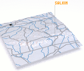 Places with similar names to Salkım, Turkey ::
Disclaimer :: Information on this page comes without warranty of any kind |
||
|
Where is Salkım? Elevation and coordinates ::
Latitude (lat): 37°5'19"N Longitude (lon): 40°36'49"E
Elevation (approx.): 482m (map arrows pan, magnifying glasses zoom) |
||
|
Visiting Salkım? Hotel/Accommodation ::
Book a hotel in Salkım Travel Guide ::
Buy a travel guide for Turkey rental cars ::
car rental offers GPS waypoint ::
download a GPX waypoint (PoI) of Salkım for your GPS receiver
|
||