|
search place name
|
||
Bonduri (Ukraine)Bonduri is a town in Ukraine. An overview map of the region around Bonduri is displayed below.
regional and 3d topo map of Bonduri, Ukraine ::

Bonduri airports ::
The nearest airport is IEV - Kiev Zhuliany Intl, located 182.9 km north east of Bonduri.
Other airports nearby include KBP - Kiev Boryspil Intl (193.0 km north east), KIV - Kichinau Fir/acc/com Chisinau Intl (222.3 km south), IAS - Iasi (233.6 km south west), Nearby towns ::
Rakhny-Sobovyye (3.9km north) //
Karbovka (3.9km south) //
Guncha (4.4km south east) //
Alekseyevka (4.4km north west) //
Shura-Bonduryanskaya (3.7km west) //
Semirichka (3.7km east) //
Kislyak (7.4km south) //
Kopiyevka (7.4km north) //
Kamenogorka (7.8km north) //
Yanyshëvka (7.8km north) //
[all distances 'as the bird flies' and approximate] 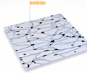 Places with similar names to Bonduri, Ukraine ::
// Beni Idder (MA)
// Beni Idir (MA)
// Beni Idir (MA)
// Bou Antar (MA)
// Boû Ouentere (MA)
// Bandīra (ET)
// Bander (ET)
// Bañadero (PH)
// Bañadero (PH)
// Bañadero (PH)
Disclaimer :: Information on this page comes without warranty of any kind |
||
|
Where is Bonduri? Elevation and coordinates ::
Latitude (lat): 48°54'0"N Longitude (lon): 29°25'0"E
Elevation (approx.): 192m (map arrows pan, magnifying glasses zoom) |
||
|
Visiting Bonduri? Hotel/Accommodation ::
Book a hotel in Bonduri Travel Guide ::
Buy a travel guide for Ukraine rental cars ::
car rental offers GPS waypoint ::
download a GPX waypoint (PoI) of Bonduri for your GPS receiver
|
||