|
search place name
|
||
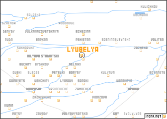
Lyubelya (Ukraine)Lyubelya is a town in Ukraine. An overview map of the region around Lyubelya is displayed below.
regional and 3d topo map of Lyubelya, Ukraine ::
Lyubelya airports ::
The nearest airport is LWO - Lvov Lviv Intl, located 43.1 km south of Lyubelya.
Other airports nearby include RZE - Rzeszow Jasionka (138.4 km west), Nearby towns ::
Zabrud (0.0km north) //
Melʼniki (2.2km south west) //
Pshistanʼ (3.7km north) //
Kazumin (3.0km south west) //
Borysy (3.9km south) //
Butyny (4.4km north east) //
Bzhezina (5.6km north) //
Soroki (5.6km south) //
Galasy (5.7km south) //
Petelʼki (5.1km south west) //
Kulyava (5.1km south east) //
Lyasovi (6.0km south west) //
Piratyn (4.7km west) //
Stadnitski (4.7km west) //
Zamochek (7.4km south) //
Dombrovo (7.5km south) //
Sosʼnina Butynʼska (6.0km north east) //
Poddovge (7.8km north) //
Zabolotne (6.0km south west) //
Podkovi (7.8km south) //
Yasineviche (8.2km south west) //
Pily (8.8km south west) //
[all distances 'as the bird flies' and approximate] 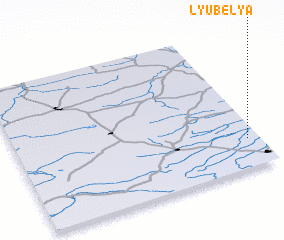 Places with similar names to Lyubelya, Ukraine ::
// Lyubolya (BY)
Disclaimer :: Information on this page comes without warranty of any kind |
||
|
Where is Lyubelya? Elevation and coordinates ::
Latitude (lat): 50°12'0"N Longitude (lon): 23°57'0"E
Elevation (approx.): 210m (map arrows pan, magnifying glasses zoom) |
||
|
Visiting Lyubelya? Hotel/Accommodation ::
Book a hotel in Lyubelya Travel Guide ::
Buy a travel guide for Ukraine rental cars ::
car rental offers GPS waypoint ::
download a GPX waypoint (PoI) of Lyubelya for your GPS receiver
|
||