|
search place name
|
||
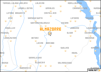
Almazorre (Aragón, Spain)Almazorre is a town in the Aragón region of Spain. An overview map of the region around Almazorre is displayed below.
regional and 3d topo map of Almazorre, Spain ::
Almazorre airports ::
The nearest airport is LDE - Tarbes Lourdes, located 101.5 km north of Almazorre.
Other airports nearby include LEU - Seo De Urgel (111.0 km east), ZAZ - Zaragoza Ab (113.5 km south west), PUF - Pau Pyrenees (129.9 km north), PNA - Pamplona (151.5 km west), Nearby towns ::
Bárcabo (3.7km south) //
Paúles (4.0km north) //
Santa María Lanuez (4.6km north west) //
Lecina (4.6km south west) //
Betorz (4.5km south west) //
Escapa (5.5km north east) //
Castellazo (7.4km north) //
Olsón (5.5km east) //
Sarsa de Surta (6.9km north west) //
Suelves (6.9km south east) //
Castejón de Sobrarbe (7.8km north east) //
[all distances 'as the bird flies' and approximate] 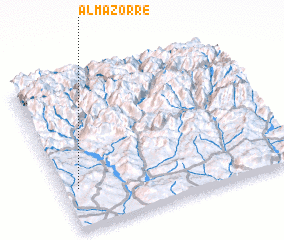 Places with similar names to Almazorre, Spain ::
// Al Muzayrah (IQ)
// Almaşar (TR)
// Al Mazārah (TN)
// Almuzara (ES)
// Alamsar (IN)
// Alimsere (KZ)
// Al Masarrah (SA)
// Al Masarrah (JO)
// Al Mazār (JO)
// Al Mazār (JO)
Disclaimer :: Information on this page comes without warranty of any kind |
||
|
Where is Almazorre? Elevation and coordinates ::
Latitude (lat): 42°16'0"N Longitude (lon): 0°4'0"W
Elevation (approx.): 794m (map arrows pan, magnifying glasses zoom) |
||
|
Visiting Almazorre? Hotel/Accommodation ::
Book a hotel in Almazorre Travel Guide ::
Buy a travel guide for Spain rental cars ::
car rental offers GPS waypoint ::
download a GPX waypoint (PoI) of Almazorre for your GPS receiver
|
||