|
search place name
|
||
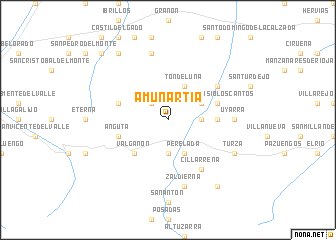
Amunartia (La Rioja, Spain)Amunartia is a town in the La Rioja region of Spain. An overview map of the region around Amunartia is displayed below.
regional and 3d topo map of Amunartia, Spain ::
Amunartia airports ::
The nearest airport is VIT - Vitoria, located 64.4 km north east of Amunartia.
Other airports nearby include BIO - Bilbao (106.1 km north), PNA - Pamplona (123.1 km north east), SDR - Santander (135.8 km north west), EAS - San Sebastian (151.1 km north east), Nearby towns ::
Zabárrula (2.3km north west) //
Ojacastro (2.7km east) //
Zorraquín (3.7km south) //
Tondeluna (4.0km north) //
Perelada (4.0km south) //
Ezcaray (4.0km south) //
Arviza (3.3km north east) //
Valgañón (4.6km south west) //
Ulizarna (4.1km east) //
San Asensio los Cantos (4.5km north east) //
Avellanosa de Rioja (4.5km north west) //
Anguta (4.5km south west) //
Santurde (5.5km north east) //
Cillarrena (6.2km south east) //
Uyarra (5.5km east) //
Zaldierna (7.5km south) //
Quintana (7.5km north) //
Turza (6.6km south east) //
Urdanta (8.5km south east) //
Bascuñana (8.5km north west) //
Quintanar de Rioja (9.2km north west) //
[all distances 'as the bird flies' and approximate] 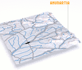 Places with similar names to Amunartia, Spain :: Disclaimer :: Information on this page comes without warranty of any kind |
||
|
Where is Amunartia? Elevation and coordinates ::
Latitude (lat): 42°21'0"N Longitude (lon): 3°2'0"W
Elevation (approx.): 994m (map arrows pan, magnifying glasses zoom) |
||
|
Visiting Amunartia? Hotel/Accommodation ::
Book a hotel in Amunartia Travel Guide ::
Buy a travel guide for Spain rental cars ::
car rental offers GPS waypoint ::
download a GPX waypoint (PoI) of Amunartia for your GPS receiver
|
||