|
search place name
|
||
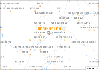
Benimuslem (Comunidad Valenciana, Spain)Benimuslem is a town in the Comunidad Valenciana region of Spain. An overview map of the region around Benimuslem is displayed below.
regional and 3d topo map of Benimuslem, Spain ::
Benimuslem airports ::
The nearest airport is VLC - Valencia, located 39.5 km north of Benimuslem.
Other airports nearby include ALC - Alicante (94.7 km south), MJV - Murcia San Javier (153.5 km south), IBZ - Ibiza (163.4 km east), Nearby towns ::
Carcagente (2.9km east) //
Masalavés (2.9km west) //
Alberique (3.4km south west) //
Molino Borrego (4.7km north east) //
Montortal (4.7km north west) //
Puebla Larga (5.7km south) //
Les Barraques (4.7km south east) //
Guadasuar (5.7km north) //
Alcira (4.7km north east) //
Villanueva de Castellón (6.3km south west) //
San Juan de Énova (7.4km south) //
Señera (7.6km south) //
La Montaña (6.0km west) //
Alcudia de Carlet (7.6km north) //
Serratella (7.0km south east) //
Algemesí (7.0km north east) //
Gabarda (8.0km south west) //
Benegida (9.4km south west) //
Alcántara de Júcar (9.4km south west) //
[all distances 'as the bird flies' and approximate] 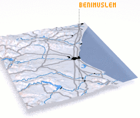 Places with similar names to Benimuslem, Spain ::
// Ban Mae Salaem (TH)
// Beni Meslem (MA)
Disclaimer :: Information on this page comes without warranty of any kind |
||
|
Where is Benimuslem? Elevation and coordinates ::
Latitude (lat): 39°8'0"N Longitude (lon): 0°29'0"W
Elevation (approx.): 22m (map arrows pan, magnifying glasses zoom) |
||
|
Visiting Benimuslem? Hotel/Accommodation ::
Book a hotel in Benimuslem Travel Guide ::
Buy a travel guide for Spain rental cars ::
car rental offers GPS waypoint ::
download a GPX waypoint (PoI) of Benimuslem for your GPS receiver
|
||