|
search place name
|
||
Bezares (Castilla y León, Spain)Bezares is a town in the Castilla y León region of Spain. An overview map of the region around Bezares is displayed below.
regional and 3d topo map of Bezares, Spain ::

Bezares airports ::
The nearest airport is VIT - Vitoria, located 90.3 km north east of Bezares.
Other airports nearby include BIO - Bilbao (131.2 km north), PNA - Pamplona (142.5 km north east), VLL - Valladolid (148.9 km west), SDR - Santander (153.8 km north), Nearby towns ::
Huerta de Abajo (1.9km south) //
Barbadillo de Herreros (2.3km north west) //
Vallejimeno (3.3km south west) //
Tolbaños de Abajo (4.0km south) //
Monterrubio de Demanda (3.3km north east) //
Quintanilla de Urrilla (4.5km south west) //
Riocavado de la Sierra (4.5km north west) //
Tolbaños de Arriba (5.5km south east) //
Huerta de Arriba (5.8km east) //
[all distances 'as the bird flies' and approximate] 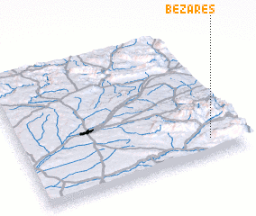 Places with similar names to Bezares, Spain ::
// Bouserouas (MA)
// Bucyrus (US)
// Baceiros (PT)
// Boas Eiras (PT)
// Basarići (BA)
// Biserici (RO)
// Bahçearası (TR)
// Bezirci (TR)
// Bucyrus (US)
// Bucyrus (US)
Disclaimer :: Information on this page comes without warranty of any kind |
||
|
Where is Bezares? Elevation and coordinates ::
Latitude (lat): 42°8'0"N Longitude (lon): 3°9'0"W
Elevation (approx.): 1141m (map arrows pan, magnifying glasses zoom) |
||
|
Visiting Bezares? Hotel/Accommodation ::
Book a hotel in Bezares Travel Guide ::
Buy a travel guide for Spain rental cars ::
car rental offers GPS waypoint ::
download a GPX waypoint (PoI) of Bezares for your GPS receiver
|
||