|
search place name
|
||
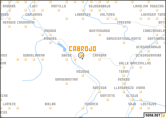
Cabrojo (Cantabria, Spain)Cabrojo is a town in the Cantabria region of Spain. An overview map of the region around Cabrojo is displayed below.
regional and 3d topo map of Cabrojo, Spain ::
Cabrojo airports ::
The nearest airport is SDR - Santander, located 49.7 km north east of Cabrojo.
Other airports nearby include BIO - Bilbao (119.7 km east), OVD - Aviles Asturias (138.2 km west), VIT - Vitoria (141.1 km east), VLL - Valladolid (175.8 km south), Nearby towns ::
Puentenansa (1.3km west) //
Pedreo (1.3km west) //
Ríoseco (1.3km west) //
Carmona (2.7km east) //
Rozadío (3.7km south) //
Obeso (2.7km west) //
Bustriguado (6.2km north east) //
Celucos (5.5km north west) //
La Herrería (5.5km north west) //
Celis (5.5km north west) //
San Sebastián (6.2km south west) //
Sarceda (7.9km south) //
Ridones (6.5km north west) //
Rádago (7.7km north west) //
[all distances 'as the bird flies' and approximate] 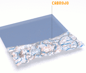 Places with similar names to Cabrojo, Spain ::
// Kuhberge (DE)
// Cabrojo (ES)
// Kei Bridge (ZA)
// Kabirāj (BD)
// Kabaroge (UG)
// Kiberege (TZ)
// Gobirage (NG)
// Goburaji (NG)
// Cowbridge (GB)
// Kew Bridge (GB)
Disclaimer :: Information on this page comes without warranty of any kind |
||
|
Where is Cabrojo? Elevation and coordinates ::
Latitude (lat): 43°15'0"N Longitude (lon): 4°23'0"W
Elevation (approx.): 288m (map arrows pan, magnifying glasses zoom) |
||
|
Visiting Cabrojo? Hotel/Accommodation ::
Book a hotel in Cabrojo Travel Guide ::
Buy a travel guide for Spain rental cars ::
car rental offers GPS waypoint ::
download a GPX waypoint (PoI) of Cabrojo for your GPS receiver
|
||