|
search place name
|
||
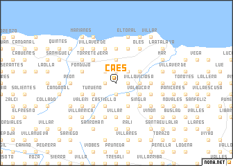
Caés (Asturias, Spain)Caés is a town in the Asturias region of Spain. An overview map of the region around Caés is displayed below.
regional and 3d topo map of Caés, Spain ::
Caés airports ::
The nearest airport is OVD - Aviles Asturias, located 46.8 km west of Caés.
Other airports nearby include SDR - Santander (133.4 km east), VLL - Valladolid (203.8 km south), BGC - Braganca (207.2 km south west), Nearby towns ::
Sariego (1.3km west) //
San Justo (1.3km west) //
Camoca de Abajo (1.9km south) //
Grases (1.9km south) //
Camoca de Arriba (1.9km south) //
El Llano (1.9km south) //
Maojo (1.9km south) //
Cazanes (1.3km east) //
La Vallina (1.9km north) //
Bozanes (2.3km south east) //
Poladura (2.3km south east) //
El Cueto (2.3km north west) //
Abayu (2.3km north east) //
Villaviciosa (2.7km east) //
Cadamancio (3.7km north) //
Ambás (3.9km south) //
Castiello (3.9km south) //
Turueño (3.3km south west) //
Niévares (3.3km south west) //
Obaya (3.9km south) //
Labares (3.9km south) //
Peruyero (3.9km south) //
Valbucar (3.3km south east) //
San Juan (3.3km south east) //
Amandi (3.3km south east) //
El Sur (3.3km south east) //
Bedriñana (3.3km north east) //
La Rivera (4.6km south west) //
Singla (4.6km south east) //
[all distances 'as the bird flies' and approximate] 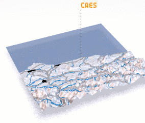 Places with similar names to Caés, Spain ::
Disclaimer :: Information on this page comes without warranty of any kind |
||
|
Where is Caés? Elevation and coordinates ::
Latitude (lat): 43°29'0"N Longitude (lon): 5°28'0"W
Elevation (approx.): 90m (map arrows pan, magnifying glasses zoom) |
||
|
Visiting Caés? Hotel/Accommodation ::
Book a hotel in Caés Travel Guide ::
Buy a travel guide for Spain rental cars ::
car rental offers GPS waypoint ::
download a GPX waypoint (PoI) of Caés for your GPS receiver
|
||