|
search place name
|
||
Caldevilla (Castilla y León, Spain)Caldevilla is a town in the Castilla y León region of Spain. An overview map of the region around Caldevilla is displayed below.
regional and 3d topo map of Caldevilla, Spain ::

Caldevilla airports ::
The nearest airport is SDR - Santander, located 96.1 km east of Caldevilla.
Other airports nearby include OVD - Aviles Asturias (101.3 km north west), VLL - Valladolid (158.7 km south), BGC - Braganca (203.3 km south west), Nearby towns ::
Soto de Valdeón (1.9km north) //
Posada de Valdeón (1.9km north) //
Los Llanos (2.3km north east) //
Prada (2.3km north east) //
Cordiñanes (4.6km north east) //
Santa Marina de Valdeón (4.1km east) //
Casasuertes (7.4km south) //
Cuénabres (8.5km south west) //
[all distances 'as the bird flies' and approximate] 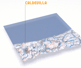 Places with similar names to Caldevilla, Spain ::
// Goldville (US)
// Col di Villa (IT)
// Cale da Vila (PT)
// Gløtvola (NO)
// Coldău-Vale (RO)
// Caldevilla (ES)
// Caldevilla (ES)
// Gouldville (ZA)
// Clydevale (NZ)
// Glade Valley (US)
Disclaimer :: Information on this page comes without warranty of any kind |
||
|
Where is Caldevilla? Elevation and coordinates ::
Latitude (lat): 43°8'0"N Longitude (lon): 4°56'0"W
Elevation (approx.): 1191m (map arrows pan, magnifying glasses zoom) |
||
|
Visiting Caldevilla? Hotel/Accommodation ::
Book a hotel in Caldevilla Travel Guide ::
Buy a travel guide for Spain rental cars ::
car rental offers GPS waypoint ::
download a GPX waypoint (PoI) of Caldevilla for your GPS receiver
|
||