|
search place name
|
||
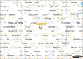
Daner (Asturias, Spain)Daner is a town in the Asturias region of Spain. An overview map of the region around Daner is displayed below.
regional and 3d topo map of Daner, Spain ::
Daner airports ::
The nearest airport is OVD - Aviles Asturias, located 22.6 km north east of Daner.
Other airports nearby include BGC - Braganca (179.0 km south), VLL - Valladolid (223.6 km south east), Nearby towns ::
Tárano (0.0km north) //
Priero (0.0km north) //
San Martín (1.9km south) //
Villarmor (1.3km west) //
Fenigonte (1.3km east) //
El Barrio (1.9km north) //
Mallecina (1.9km north) //
Villamar de Abajo (2.3km south east) //
Valderrodero (2.3km north west) //
La Borra (2.7km west) //
Ardesaldo (2.7km west) //
Cardús (2.7km east) //
Mallecín (3.7km south) //
San Cristóbal (3.7km north) //
Camuño (3.3km south east) //
Linares (3.3km north east) //
Acellana (3.9km south) //
Poles (3.9km south) //
La Sala (3.9km south) //
Salas (3.9km south) //
Brañaivente (3.9km north) //
Caborno (3.9km north) //
La Arquera (3.9km north) //
Villamondrid (4.6km north east) //
Cordovero (4.6km north east) //
Malleza (4.6km north east) //
La Folguerosa (5.6km north) //
El Pumar (5.6km north) //
Valloria (4.0km west) //
[all distances 'as the bird flies' and approximate] 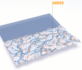 Places with similar names to Daner, Spain ::
Disclaimer :: Information on this page comes without warranty of any kind |
||
|
Where is Daner? Elevation and coordinates ::
Latitude (lat): 43°26'0"N Longitude (lon): 6°15'0"W
Elevation (approx.): 291m (map arrows pan, magnifying glasses zoom) |
||
|
Visiting Daner? Hotel/Accommodation ::
Book a hotel in Daner Travel Guide ::
Buy a travel guide for Spain rental cars ::
car rental offers GPS waypoint ::
download a GPX waypoint (PoI) of Daner for your GPS receiver
|
||