|
search place name
|
||
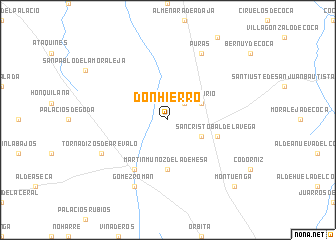
Donhierro (Castilla y León, Spain)Donhierro is a town in the Castilla y León region of Spain. An overview map of the region around Donhierro is displayed below.
regional and 3d topo map of Donhierro, Spain ::
Donhierro airports ::
The nearest airport is VLL - Valladolid, located 67.0 km north of Donhierro.
Other airports nearby include SLM - Salamanca (71.2 km west), MAD - Madrid Barajas (116.9 km south east), TOJ - Madrid Torrejon (125.1 km south east), VIT - Vitoria (254.6 km north east), Nearby towns ::
Montejo de Arévalo (2.3km north east) //
Tolocirio (3.4km north east) //
Rapariegos (3.4km south east) //
Martín Muñoz de la Dehesa (5.6km south) //
San Cristóbal de la Vega (4.6km south east) //
Arévalo (6.2km south west) //
Puras (7.9km north) //
Tornadizos de Arévalo (6.7km south west) //
Gómez-Román (7.9km south) //
Montuenga (9.3km south east) //
[all distances 'as the bird flies' and approximate] 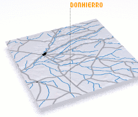 Places with similar names to Donhierro, Spain ::
// Dānihāri (BD)
// Donouhorou (BJ)
// Tinhira (BF)
// Denihare (TP)
// Teniuohiri (PF)
// Dinheiro (MZ)
// Danaher (US)
// Tanohara (JP)
// Tienhaara (FI)
// Tienhaara (FI)
Disclaimer :: Information on this page comes without warranty of any kind |
||
|
Where is Donhierro? Elevation and coordinates ::
Latitude (lat): 41°7'0"N Longitude (lon): 4°41'0"W
Elevation (approx.): 804m (map arrows pan, magnifying glasses zoom) |
||
|
Visiting Donhierro? Hotel/Accommodation ::
Book a hotel in Donhierro Travel Guide ::
Buy a travel guide for Spain rental cars ::
car rental offers GPS waypoint ::
download a GPX waypoint (PoI) of Donhierro for your GPS receiver
|
||