|
search place name
|
||
Garaña (Asturias, Spain)Garaña is a town in the Asturias region of Spain. An overview map of the region around Garaña is displayed below.
regional and 3d topo map of Garaña, Spain ::

Garaña airports ::
The nearest airport is OVD - Aviles Asturias, located 87.3 km west of Garaña.
Other airports nearby include SDR - Santander (92.9 km east), VLL - Valladolid (193.9 km south), BGC - Braganca (227.3 km south west), Nearby towns ::
Pría (0.0km north) //
Belmonte (0.0km north) //
Llamés (0.0km north) //
Piñeres (1.3km east) //
Silviella (1.3km east) //
Cuerres (2.3km south west) //
Ovío (2.7km east) //
Cuevas (2.7km east) //
Picones (2.7km east) //
Nueva (3.3km south east) //
Los Quintanales (4.6km south east) //
Cardoso (4.0km east) //
Camango (4.0km west) //
Hontoria (4.0km east) //
Torielló (4.0km west) //
Acebal (5.5km south east) //
Los Carriles (5.5km south east) //
Riensena (6.2km south west) //
Ríocaliente (6.2km south east) //
Collera (5.4km west) //
Meluerda (5.4km west) //
Villahormes (5.7km east) //
Mestas (7.5km south) //
Los Callejos (6.9km south east) //
Puente Nuevo (6.9km south east) //
Allende (6.9km south east) //
Villanueva (7.9km south) //
Palacio (7.9km south) //
Ardisana (7.9km south) //
[all distances 'as the bird flies' and approximate] 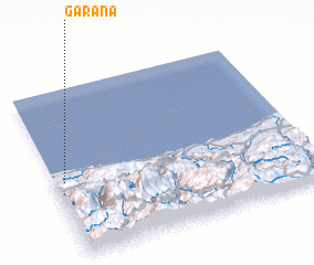 Places with similar names to Garaña, Spain ::
Disclaimer :: Information on this page comes without warranty of any kind |
||
|
Where is Garaña? Elevation and coordinates ::
Latitude (lat): 43°27'0"N Longitude (lon): 4°58'0"W
Elevation (approx.): 51m (map arrows pan, magnifying glasses zoom) |
||
|
Visiting Garaña? Hotel/Accommodation ::
Book a hotel in Garaña Travel Guide ::
Buy a travel guide for Spain rental cars ::
car rental offers GPS waypoint ::
download a GPX waypoint (PoI) of Garaña for your GPS receiver
|
||