|
search place name
|
||
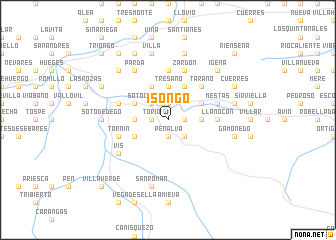
Isongo (Asturias, Spain)Isongo is a town in the Asturias region of Spain. An overview map of the region around Isongo is displayed below.
regional and 3d topo map of Isongo, Spain ::
Isongo airports ::
The nearest airport is OVD - Aviles Asturias, located 82.4 km west of Isongo.
Other airports nearby include SDR - Santander (101.6 km east), VLL - Valladolid (181.6 km south), BGC - Braganca (212.1 km south west), Nearby towns ::
Torío (1.3km west) //
Peñalva (1.9km south) //
La Riera (1.9km south) //
Llerices (1.9km south) //
Teleña (1.3km east) //
Abamia (1.3km east) //
Corao (1.9km north) //
Parora (1.9km north) //
Covadonga (2.3km south east) //
Cardes (2.3km north west) //
Soto de Cangas (2.3km north west) //
Celorio (2.3km north west) //
Perlleces (2.3km north west) //
Nieda (2.7km west) //
Soto de la Ensertal (2.7km east) //
Tresano (3.7km north) //
Carmones (3.7km north) //
Següenco (3.3km south west) //
Narciandi (3.3km north west) //
Onao (3.9km north) //
Intriago (3.3km north east) //
Las Carbonosas (3.9km north) //
Labra (3.9km north) //
Tárano (4.6km north east) //
Llenín (4.6km north east) //
Carrocedo (5.6km north) //
Llano-Con (4.0km east) //
Con (4.0km east) //
Tornín (4.4km south west) //
[all distances 'as the bird flies' and approximate] 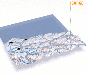 Places with similar names to Isongo, Spain ::
Disclaimer :: Information on this page comes without warranty of any kind |
||
|
Where is Isongo? Elevation and coordinates ::
Latitude (lat): 43°20'0"N Longitude (lon): 5°4'0"W
Elevation (approx.): 280m (map arrows pan, magnifying glasses zoom) |
||
|
Visiting Isongo? Hotel/Accommodation ::
Book a hotel in Isongo Travel Guide ::
Buy a travel guide for Spain rental cars ::
car rental offers GPS waypoint ::
download a GPX waypoint (PoI) of Isongo for your GPS receiver
|
||