|
search place name
|
||
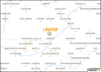
La Vega (Castilla y León, Spain)La Vega is a town in the Castilla y León region of Spain. An overview map of the region around La Vega is displayed below.
regional and 3d topo map of La Vega, Spain ::
La Vega airports ::
The nearest airport is VIT - Vitoria, located 91.0 km north of La Vega.
Other airports nearby include PNA - Pamplona (92.0 km north east), ZAZ - Zaragoza Ab (118.3 km south east), BIO - Bilbao (139.8 km north), EAS - San Sebastian (144.7 km north), Nearby towns ::
Yanguas (1.9km south) //
Lería (2.3km north east) //
Villar del Río (4.0km south) //
Zarzosa (5.6km north) //
Aldealcardo (5.6km south) //
La Cuesta (5.7km south) //
Vellosillo (4.5km south west) //
Larriba (6.2km north west) //
Villaseca Bajera (7.4km south) //
Garranzo (5.8km east) //
Camporredondo (5.8km west) //
La Escurquilla (6.9km north east) //
Valdevigas (6.9km north east) //
Bretún (6.9km south west) //
Enciso (6.6km north east) //
Munilla (7.9km north) //
Valduérteles (7.9km south) //
Taniñe (9.2km south east) //
[all distances 'as the bird flies' and approximate] 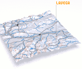 Places with similar names to La Vega, Spain ::
Disclaimer :: Information on this page comes without warranty of any kind |
||
|
Where is La Vega? Elevation and coordinates ::
Latitude (lat): 42°7'0"N Longitude (lon): 2°20'0"W
Elevation (approx.): 1316m (map arrows pan, magnifying glasses zoom) |
||
|
Visiting La Vega? Hotel/Accommodation ::
Book a hotel in La Vega Travel Guide ::
Buy a travel guide for Spain rental cars ::
car rental offers GPS waypoint ::
download a GPX waypoint (PoI) of La Vega for your GPS receiver
|
||