|
search place name
|
||
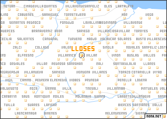
Lloses (Asturias, Spain)Lloses is a town in the Asturias region of Spain. An overview map of the region around Lloses is displayed below.
regional and 3d topo map of Lloses, Spain ::
Lloses airports ::
The nearest airport is OVD - Aviles Asturias, located 46.9 km west of Lloses.
Other airports nearby include SDR - Santander (134.7 km east), VLL - Valladolid (198.7 km south), BGC - Braganca (201.7 km south west), Nearby towns ::
Mogobio (0.0km north) //
Valdebárzana (1.3km east) //
Villar (1.3km east) //
La Viña (1.3km west) //
Villanaoscura (1.3km west) //
Ambás (1.9km north) //
Castiello (1.9km north) //
Cuinya (2.3km south east) //
Pandenes (2.3km south east) //
San Román (2.3km south west) //
La Rivera (2.3km north west) //
Miyeres (2.7km east) //
Poreño (2.7km east) //
Verdera (3.7km south) //
Villarrica (2.7km west) //
Lauría (2.7km west) //
La Espina (3.3km south east) //
Celada (3.3km south east) //
Ralí (3.3km south east) //
Labares (3.3km north east) //
Peruyero (3.3km north east) //
Obaya (3.3km north east) //
Camoca de Arriba (3.9km north) //
Camoca de Abajo (3.9km north) //
Maojo (3.9km north) //
Grases (3.9km north) //
El Llano (3.9km north) //
Turueño (3.9km north) //
Niévares (3.9km north) //
[all distances 'as the bird flies' and approximate] 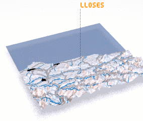 Places with similar names to Lloses, Spain ::
Disclaimer :: Information on this page comes without warranty of any kind |
||
|
Where is Lloses? Elevation and coordinates ::
Latitude (lat): 43°26'0"N Longitude (lon): 5°29'0"W
Elevation (approx.): 284m (map arrows pan, magnifying glasses zoom) |
||
|
Visiting Lloses? Hotel/Accommodation ::
Book a hotel in Lloses Travel Guide ::
Buy a travel guide for Spain rental cars ::
car rental offers GPS waypoint ::
download a GPX waypoint (PoI) of Lloses for your GPS receiver
|
||