|
search place name
|
||
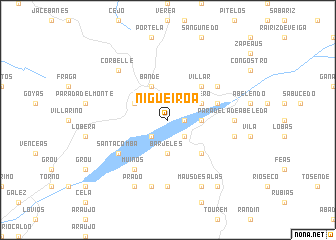
Nigueiroá (Galicia, Spain)Nigueiroá is a town in the Galicia region of Spain. An overview map of the region around Nigueiroá is displayed below.
regional and 3d topo map of Nigueiroá, Spain ::
Nigueiroá airports ::
The nearest airport is VGO - Vigo, located 61.6 km north west of Nigueiroá.
Other airports nearby include VRL - Vila Real (82.8 km south), OPO - Porto (103.4 km south west), BGC - Braganca (104.3 km east), SCQ - Santiago (106.7 km north), Nearby towns ::
Garabelos (1.4km east) //
Farnadeiros (2.3km south east) //
Baños (2.3km south west) //
Souto (2.8km east) //
Barjeles (3.7km south) //
Ribero (3.3km north east) //
Cadones (3.3km north west) //
Bande (4.0km north) //
Villar (4.6km north east) //
Couso de Salas (4.6km south east) //
Güin (4.5km north east) //
Muiños (6.2km south west) //
Cadós (6.2km south west) //
Carpazás (5.5km north east) //
Santa Comba (5.6km south west) //
Porqueirós (7.4km south) //
Paradela de Abeleda (5.5km east) //
Germeade (7.5km south) //
Golpellás (5.8km east) //
Corbelle (6.9km north west) //
Calvos (6.9km north west) //
Maus de Salas (7.9km south) //
Prado (7.9km south) //
Calvos (8.5km south east) //
[all distances 'as the bird flies' and approximate] 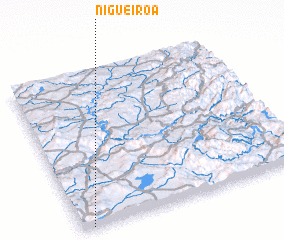 Places with similar names to Nigueiroá, Spain ::
Disclaimer :: Information on this page comes without warranty of any kind |
||
|
Where is Nigueiroá? Elevation and coordinates ::
Latitude (lat): 42°0'0"N Longitude (lon): 7°57'0"W
Elevation (approx.): 656m (map arrows pan, magnifying glasses zoom) |
||
|
Visiting Nigueiroá? Hotel/Accommodation ::
Book a hotel in Nigueiroá Travel Guide ::
Buy a travel guide for Spain rental cars ::
car rental offers GPS waypoint ::
download a GPX waypoint (PoI) of Nigueiroá for your GPS receiver
|
||