|
search place name
|
||
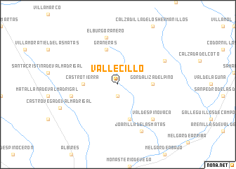
Vallecillo (Castilla y León, Spain)Vallecillo is a town in the Castilla y León region of Spain. An overview map of the region around Vallecillo is displayed below.
regional and 3d topo map of Vallecillo, Spain ::
Vallecillo airports ::
The nearest airport is VLL - Valladolid, located 77.1 km south of Vallecillo.
Other airports nearby include BGC - Braganca (136.1 km south west), OVD - Aviles Asturias (151.0 km north west), SLM - Salamanca (157.3 km south), SDR - Santander (164.4 km north east), Nearby towns ::
Villeza (1.9km south) //
Gordaliza del Pino (4.1km east) //
Castrotierra (4.1km west) //
Grañeras (5.7km north) //
San Miguel de Montañán (5.7km south) //
El Burgo Ranero (7.5km north) //
La Veguellina (5.8km west) //
Valdespino Vaca (6.9km south east) //
Bercianos del Real Camino (6.6km north east) //
Joarilla de las Matas (7.9km south) //
[all distances 'as the bird flies' and approximate] 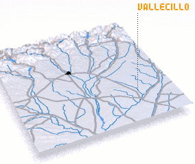 Places with similar names to Vallecillo, Spain ::
// Volossula (RU)
// Vǝlǝsli (AZ)
// Vilssöhl (DE)
// Volzel (DE)
// Filicello (IT)
// Valea Iaşului (RO)
// Valea Uzului (RO)
// Vîlcele (RO)
// Vîlcele (RO)
// Vîlcele (RO)
Disclaimer :: Information on this page comes without warranty of any kind |
||
|
Where is Vallecillo? Elevation and coordinates ::
Latitude (lat): 42°21'0"N Longitude (lon): 5°12'0"W
Elevation (approx.): 851m (map arrows pan, magnifying glasses zoom) |
||
|
Visiting Vallecillo? Hotel/Accommodation ::
Book a hotel in Vallecillo Travel Guide ::
Buy a travel guide for Spain rental cars ::
car rental offers GPS waypoint ::
download a GPX waypoint (PoI) of Vallecillo for your GPS receiver
|
||