|
search place name
|
||
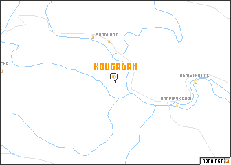
Kougadam (South Africa)Kougadam is a town in South Africa. An overview map of the region around Kougadam is displayed below.
regional and 3d topo map of Kougadam, South Africa ::
Kougadam airports ::
The nearest airport is PLZ - Port Elizabeth Intl, located 98.2 km east of Kougadam.
Nearby towns ::
 Places with similar names to Kougadam, South Africa ::
// Kaugatuma (EE)
// Kukhtym (RU)
// Cook Tomb (US)
// Cocotomey (BJ)
// Koko-Tombo (BJ)
// Kaga-Doumba (CF)
// Kéouéka Adam (TD)
// Koktem (KZ)
// Koktuma (KZ)
// Köktuma (KZ)
Disclaimer :: Information on this page comes without warranty of any kind |
||
|
Where is Kougadam? Elevation and coordinates ::
Latitude (lat): 33°44'0"S Longitude (lon): 24°36'0"E
Elevation (approx.): 476m (map arrows pan, magnifying glasses zoom) |
||
|
Visiting Kougadam? Hotel/Accommodation ::
Book a hotel in Kougadam Travel Guide ::
rental cars ::
car rental offers GPS waypoint ::
download a GPX waypoint (PoI) of Kougadam for your GPS receiver
|
||