|
search place name
|
||
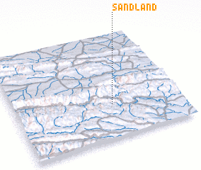
Sandland (South Africa)Sandland is a town in South Africa. An overview map of the region around Sandland is displayed below.
regional and 3d topo map of Sandland, South Africa ::

Sandland airports ::
The nearest airport is PLZ - Port Elizabeth Intl, located 101.2 km east of Sandland.
Nearby towns ::
 Places with similar names to Sandland, South Africa ::
// Sandy Land (US)
// Sandyland (US)
// Sandland (NO)
// Sintié Alenndao (SN)
// Sandolândia (BR)
// Sindallund (DK)
// Snodland (GB)
Disclaimer :: Information on this page comes without warranty of any kind |
||
|
Where is Sandland? Elevation and coordinates ::
Latitude (lat): 33°40'25"S Longitude (lon): 24°35'21"E
Elevation (approx.): 151m (map arrows pan, magnifying glasses zoom) |
||
|
Visiting Sandland? Hotel/Accommodation ::
Book a hotel in Sandland Travel Guide ::
rental cars ::
car rental offers GPS waypoint ::
download a GPX waypoint (PoI) of Sandland for your GPS receiver
|
||