|
search place name
|
||
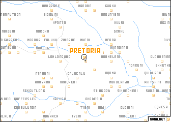
Pretoria (South Africa)Pretoria is a town in South Africa. An overview map of the region around Pretoria is displayed below.
regional and 3d topo map of Pretoria, South Africa ::
Pretoria airports ::
The nearest airport is UTT - Umtata Mthatha, located 85.2 km south of Pretoria.
Other airports nearby include MGH - Margate (168.6 km east), MSU - Maseru Moshoeshoe I Intl (177.0 km north west), UTW - Queenstown (205.2 km south west), PZB - Pietermaritzburg (215.3 km north east), Nearby towns ::
Mrwatyeni (NaNkm north) //
KuMathumbu (2.4km north east) //
Blekana (2.4km north east) //
Nkalweni (2.4km south east) //
Mdeni (3.7km north) //
Dludlu (3.7km north east) //
Calucalu (4.0km south west) //
Zimbane (4.9km north west) //
Lahlangubo (4.8km west) //
Mabheleni (4.8km east) //
Dludlu (5.1km east) //
Nkalweni (6.4km south west) //
Mfoba (6.0km north east) //
Nqoma (6.0km south east) //
KwaNqana (6.6km east) //
Diphini (7.3km south east) //
Faluku (7.4km north west) //
Chevy Chase (7.4km south west) //
Stinkord (8.1km south east) //
Mfanta (8.8km north west) //
Lokishini (8.5km south west) //
Gxaku (8.5km north east) //
Mbhulanja (8.5km south east) //
Mvusi (9.8km north east) //
[all distances 'as the bird flies' and approximate] 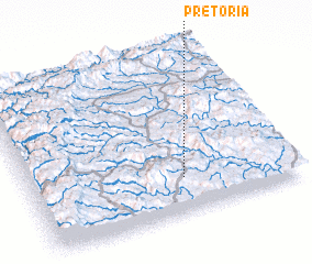 Places with similar names to Pretoria, South Africa ::
// Paratari (BR)
// Parteiro (BR)
// Peritoró (BR)
// Peritoró (BR)
// Porteira (BR)
// Porteira (BR)
// Porteira (BR)
// Porteira (BR)
// Pôrto Arraia (BR)
// Pôrto Uerê (BR)
Disclaimer :: Information on this page comes without warranty of any kind |
||
|
Where is Pretoria? Elevation and coordinates ::
Latitude (lat): 30°47'0"S Longitude (lon): 28°35'0"E
Elevation (approx.): 1452m (map arrows pan, magnifying glasses zoom) |
||
|
Visiting Pretoria? Hotel/Accommodation ::
Book a hotel in Pretoria Travel Guide ::
rental cars ::
car rental offers GPS waypoint ::
download a GPX waypoint (PoI) of Pretoria for your GPS receiver
|
||