|
search place name
|
||
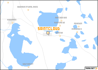
Saint Cloud (Florida, United States - USA)Saint Cloud is a town in the Florida region of United States - USA. An overview map of the region around Saint Cloud is displayed below.
regional and 3d topo map of Saint Cloud, United States - USA ::
Saint Cloud airports ::
The nearest airport is MCO - Orlando Intl, located 20.2 km north of Saint Cloud.
Other airports nearby include MLB - Melbourne Intl (64.5 km east), COF - Coco Beach Patrick Afb (65.9 km east), VRB - Vero Beach Muni (107.4 km south east), TPA - Tampa Intl (126.7 km west), Nearby towns ::
Ashton (3.7km east) //
Runnymede (5.1km north east) //
Narcoossee (6.9km north east) //
[all distances 'as the bird flies' and approximate] 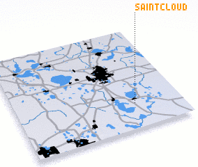 Places with similar names to Saint Cloud, United States - USA ::
// Saint Kilda (NZ)
// Saint Cloud (US)
// Saint Cloud (US)
// Saint Cloud (US)
// Saint Cloud (US)
// Saint-Claude (GP)
// Saint Cloud (HT)
// Saint-Claud (FR)
// Saint-Cloud (FR)
// Saint-Clet (FR)
Disclaimer :: Information on this page comes without warranty of any kind |
||
|
Where is Saint Cloud? Elevation and coordinates ::
Latitude (lat): 28°14'55"N Longitude (lon): 81°16'53"W
Elevation (approx.): 27m (map arrows pan, magnifying glasses zoom) |
||
|
Visiting Saint Cloud? Hotel/Accommodation ::
Book a hotel in Saint Cloud Travel Guide ::
rental cars ::
car rental offers GPS waypoint ::
download a GPX waypoint (PoI) of Saint Cloud for your GPS receiver
|
||