|
search place name
|
||
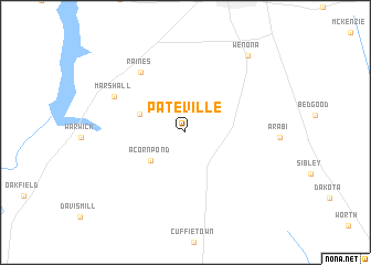
Pateville (Georgia, United States - USA)Pateville is a town in the Georgia region of United States - USA. An overview map of the region around Pateville is displayed below.
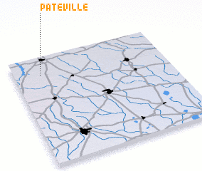
regional and 3d topo map of Pateville, United States - USA ::
Pateville airports ::
The nearest airport is WRB - Macon Robins Afb, located 91.8 km north of Pateville.
Other airports nearby include MCN - Macon Middle Georgia Rgnl (96.5 km north), VAD - Valdosta Moody Afb (113.4 km south east), LSF - Fort Benning Lawson Aaf (123.4 km north west), DHN - Dothan Rgnl (164.5 km west), Nearby towns ::
 Places with similar names to Pateville, United States - USA ::
// Pettville (BZ)
// Pettyville (US)
// Podval (BA)
// Peatville (US)
// Pittville (US)
// Puduveli (IN)
// Pottuvil (LK)
// Putuveli (LK)
// Putuveli (LK)
// Pie de Filo (VE)
Disclaimer :: Information on this page comes without warranty of any kind |
||
|
Where is Pateville? Elevation and coordinates ::
Latitude (lat): 31°50'9"N Longitude (lon): 83°49'26"W
Elevation (approx.): 99m (map arrows pan, magnifying glasses zoom) |
||
|
Visiting Pateville? Hotel/Accommodation ::
Book a hotel in Pateville Travel Guide ::
rental cars ::
car rental offers GPS waypoint ::
download a GPX waypoint (PoI) of Pateville for your GPS receiver
|
||