|
search place name
|
||
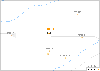
Ohio (Illinois, United States - USA)Ohio is a town in the Illinois region of United States - USA. An overview map of the region around Ohio is displayed below.
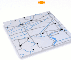
regional and 3d topo map of Ohio, United States - USA ::
Ohio airports ::
The nearest airport is ORD - Chicago Ohare Intl, located 137.6 km east of Ohio.
Other airports nearby include MDW - Chicago Midway Intl (144.5 km east), IKK - Greater Kankakee (145.6 km east), MSN - Madison Dane Co Rgnl Truax Fld (176.1 km north), MKE - Milwaukee General Mitchell Intl (201.2 km north east), Nearby towns ::
 Places with similar names to Ohio, United States - USA ::
Disclaimer :: Information on this page comes without warranty of any kind |
||
|
Where is Ohio? Elevation and coordinates ::
Latitude (lat): 41°33'27"N Longitude (lon): 89°27'39"W
Elevation (approx.): 277m (map arrows pan, magnifying glasses zoom) |
||
|
Visiting Ohio? Hotel/Accommodation ::
Book a hotel in Ohio Travel Guide ::
rental cars ::
car rental offers GPS waypoint ::
download a GPX waypoint (PoI) of Ohio for your GPS receiver
|
||