|
search place name
|
||
Simmons (Kentucky, United States - USA)Simmons is a town in the Kentucky region of United States - USA. An overview map of the region around Simmons is displayed below.
regional and 3d topo map of Simmons, United States - USA ::

Simmons airports ::
The nearest airport is HOP - Hopkinsville Campbell Aaf, located 91.0 km south west of Simmons.
Other airports nearby include FTK - Fort Knox Godman Aaf (105.1 km north east), BNA - Nashville Intl (138.8 km south), LOU - Louisville Bowman Fld (148.4 km north east), MKL - Jackson Mc Kellar Sipes Rgnl (263.3 km south west), Nearby towns ::
Ken Wye (1.7km south west) //
Nineteen (3.4km south) //
McHenry (3.2km north east) //
Echols (3.3km south west) //
Scottown (4.3km south west) //
Rockport (5.4km south west) //
Beaver Dam (7.7km north east) //
Centertown (8.2km north west) //
Cool Springs (8.9km south east) //
[all distances 'as the bird flies' and approximate] 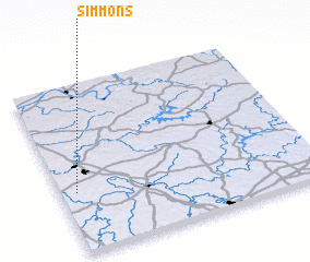 Places with similar names to Simmons, United States - USA ::
// Simmons (US)
// Simons (US)
// Samonás (GR)
// Smines (NO)
// Sømnes (NO)
// Siemianice (PL)
// Siemienice (PL)
// Siemnice (PL)
// Ziemnice (PL)
// Zimnice (PL)
Disclaimer :: Information on this page comes without warranty of any kind |
||
|
Where is Simmons? Elevation and coordinates ::
Latitude (lat): 37°21'27"N Longitude (lon): 86°56'32"W
Elevation (approx.): 132m (map arrows pan, magnifying glasses zoom) |
||
|
Visiting Simmons? Hotel/Accommodation ::
Book a hotel in Simmons Travel Guide ::
rental cars ::
car rental offers GPS waypoint ::
download a GPX waypoint (PoI) of Simmons for your GPS receiver
|
||