|
search place name
|
||
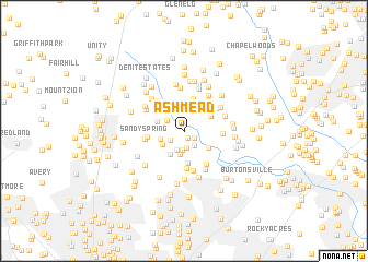
Ashmead (Maryland, United States - USA)Ashmead is a town in the Maryland region of United States - USA. An overview map of the region around Ashmead is displayed below.
regional and 3d topo map of Ashmead, United States - USA ::
Ashmead airports ::
The nearest airport is BWI - Baltimore Washington Intl, located 28.0 km east of Ashmead.
Other airports nearby include DCA - Ronald Reagan Washington Natl (34.1 km south), ADW - Camp Springs Andrews Afb (Washington Dc Naf) (39.9 km south), IAD - Washington Dulles Intl (46.6 km south west), APG - Aberdeen Phillips Aaf (78.8 km north east), Nearby towns ::
Ashton Pond (0.8km south) //
Ednor View (1.1km south east) //
Sam Rice Manor (1.4km south west) //
Cliftonbrook (1.7km south) //
Cedar Knoll Farms (1.7km south east) //
Ednor Acres (1.9km south) //
Quail Hill (1.7km north west) //
Ednor Farms (2.0km south) //
Swann Hills (2.2km north) //
Ednor (2.4km south) //
Ashton (2.0km south west) //
Ashton Manor (2.2km south west) //
Ednor Woods (2.6km south west) //
Brinklow (2.3km north west) //
Briaridge (2.6km north east) //
Rocky Gorge Meadows (2.6km south east) //
Mill Grove Gardens (3.3km south) //
Green Hill Manor (3.4km north) //
Sandy Spring Meadow (3.0km west) //
Browns Corner (3.9km south) //
Lime Kiln Valley (3.1km east) //
Hemlock Hill (3.4km north east) //
White Oak Estates (3.7km north east) //
Sandy Spring (3.2km west) //
Brighton Estates (3.7km north west) //
Oak Hill Estates (3.8km south east) //
Parrs Ridge (4.1km south) //
Haviland Hills (4.4km north) //
Highland Lake (4.1km north east) //
[all distances 'as the bird flies' and approximate] 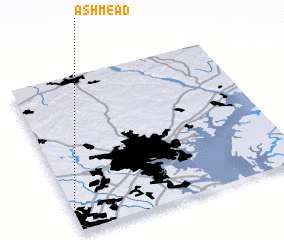 Places with similar names to Ashmead, United States - USA ::
Disclaimer :: Information on this page comes without warranty of any kind |
||
|
Where is Ashmead? Elevation and coordinates ::
Latitude (lat): 39°9'25"N Longitude (lon): 76°59'30"W
Elevation (approx.): 134m (map arrows pan, magnifying glasses zoom) |
||
|
Visiting Ashmead? Hotel/Accommodation ::
Book a hotel in Ashmead Travel Guide ::
rental cars ::
car rental offers GPS waypoint ::
download a GPX waypoint (PoI) of Ashmead for your GPS receiver
|
||