|
search place name
|
||
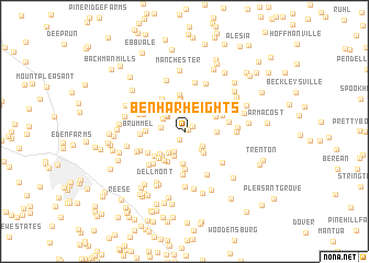
Ben-Har Heights (Maryland, United States - USA)Ben-Har Heights is a town in the Maryland region of United States - USA. An overview map of the region around Ben-Har Heights is displayed below.
regional and 3d topo map of Ben-Har Heights, United States - USA ::
Ben-Har Heights airports ::
The nearest airport is BWI - Baltimore Washington Intl, located 51.1 km south of Ben-Har Heights.
Other airports nearby include APG - Aberdeen Phillips Aaf (63.1 km east), MDT - Harrisburg Intl (66.0 km north), DCA - Ronald Reagan Washington Natl (84.7 km south), ADW - Camp Springs Andrews Afb (Washington Dc Naf) (88.2 km south), Nearby towns ::
Northbrook (0.4km north east) //
Brilhart Terrace (0.8km north east) //
Shiloh (0.9km south west) //
Snydersburg (2.0km north west) //
Lismarelu Farms (2.2km south) //
Oakdale Manor (2.0km south east) //
White Oak Ridge (2.3km north west) //
Lester Acres (1.9km west) //
Snydersburg Manor (2.2km north west) //
Castle Oaks (2.2km south east) //
Cape Horn South (2.1km north west) //
Duncans Hill (2.5km south west) //
Hoffmans Mill (2.6km south) //
Alma Meadows (2.6km south east) //
West Hill (3.2km north) //
Adams Chance (3.3km south) //
Hampstead (2.6km east) //
Hunt Ridge (3.2km north east) //
Winsome Heights (3.0km south west) //
Finlandia (3.0km south west) //
Greenmount (3.2km north east) //
Cape Hill Farms (3.4km north) //
Lynwood (3.3km south west) //
Hampstead Heights (2.9km north east) //
Aspen Run (3.3km south west) //
Cascade Estates (3.1km north west) //
Glasers Hill (3.8km north) //
Winterberry (3.4km south west) //
Houcksville (3.8km south) //
[all distances 'as the bird flies' and approximate]  Places with similar names to Ben-Har Heights, United States - USA :: Disclaimer :: Information on this page comes without warranty of any kind |
||
|
Where is Ben-Har Heights? Elevation and coordinates ::
Latitude (lat): 39°36'20"N Longitude (lon): 76°52'49"W
Elevation (approx.): 222m (map arrows pan, magnifying glasses zoom) |
||
|
Visiting Ben-Har Heights? Hotel/Accommodation ::
Book a hotel in Ben-Har Heights Travel Guide ::
rental cars ::
car rental offers GPS waypoint ::
download a GPX waypoint (PoI) of Ben-Har Heights for your GPS receiver
|
||